
osprey

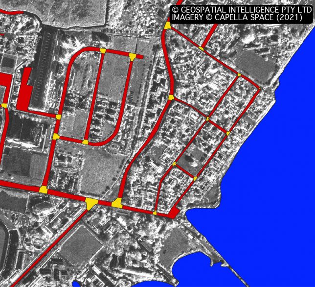
Case Study: Automating Water Mapping with GeoAI

Remote sensing workflows often contain tasks that are well understood, but still require specialist knowledge and analyst time to perform. Water masking is a good example. Identifying water in satellite imagery is not a new problem. Experienced remote-sensing analysts have several established ways of approaching it. But producing a useful result can still involve image
Case Study: Automating Water Mapping with GeoAI Read More »

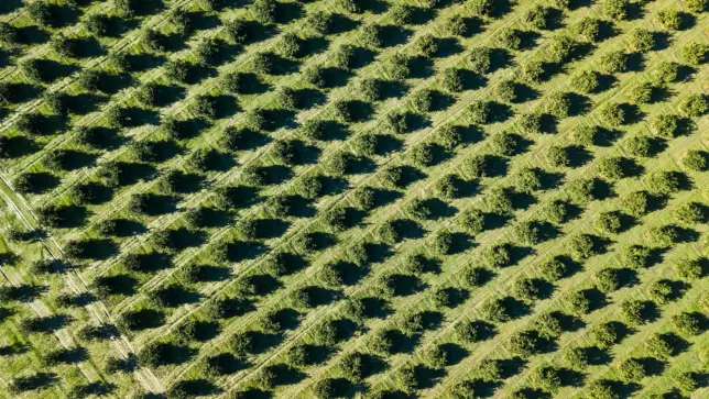
Aerial view of evenly spaced trees planted in diagonal rows across cultivated farmland.

Orchard Management Using Satellite-Based Tree Health Detection

,

Geospatial Intelligence conducted a remote sensing assessment for an Australian orchard to identify unhealthy or damaged trees at scale. Using satellite imagery and NDVI analysis, the project produced a detailed tree health classification map, accuracy report, and geospatial outputs for operational use. The insights allow the orchard to detect issues earlier, improve decision making, and support long term productivity and orchard health.

Orchard Management Using Satellite-Based Tree Health Detection Read More »

Scroll to Top