
Using GeoAI to remove a time-consuming step from geospatial analysis
Some of the most time-consuming parts of geospatial analysis happen before the analysis you actually care about.
Tree canopy mapping is a good example.
For applications such as urban heat analysis, green-space assessment or vegetation monitoring, a tree canopy layer can be an essential input. But before that layer can be analysed alongside temperature, land use, demographics or other spatial information, someone first has to create it.
Traditionally, extracting and vectorising canopy from imagery can require specialist remote-sensing knowledge and considerable analyst time.
With Osprey, much of that first-pass processing can be automated.
The challenge
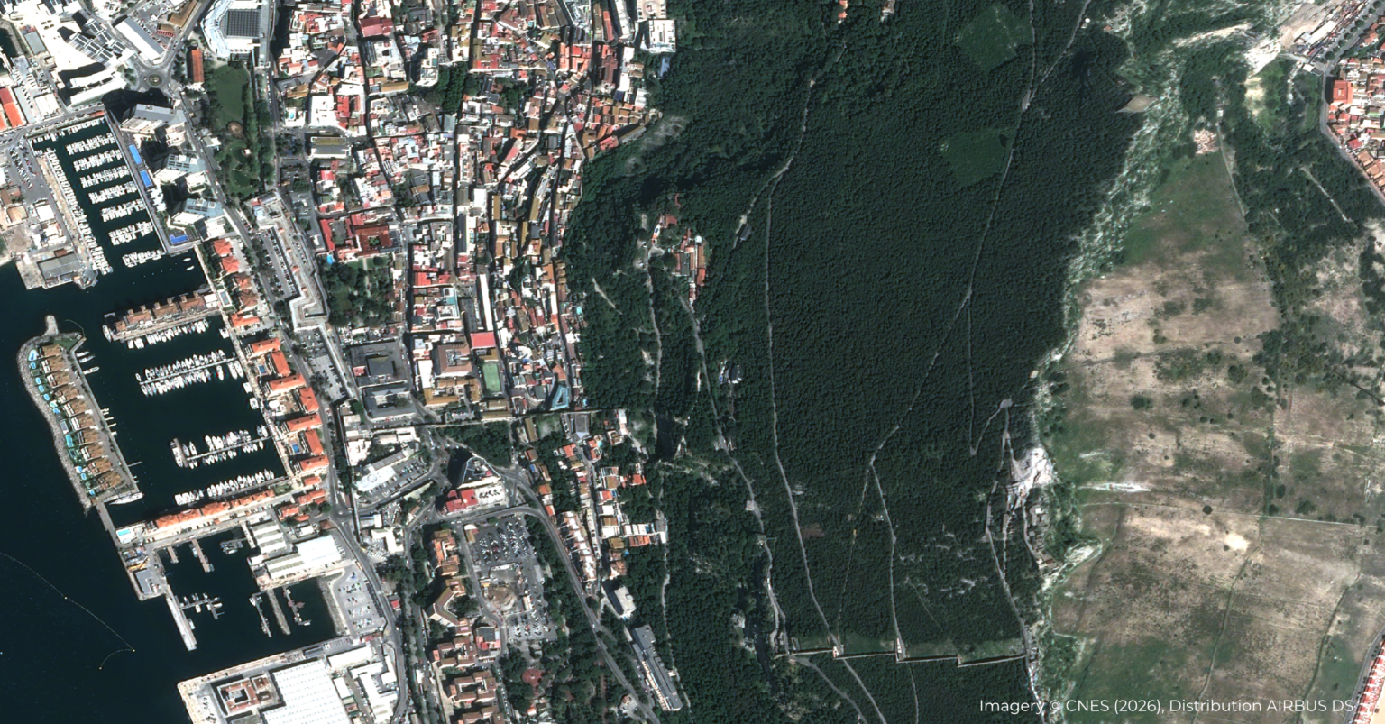
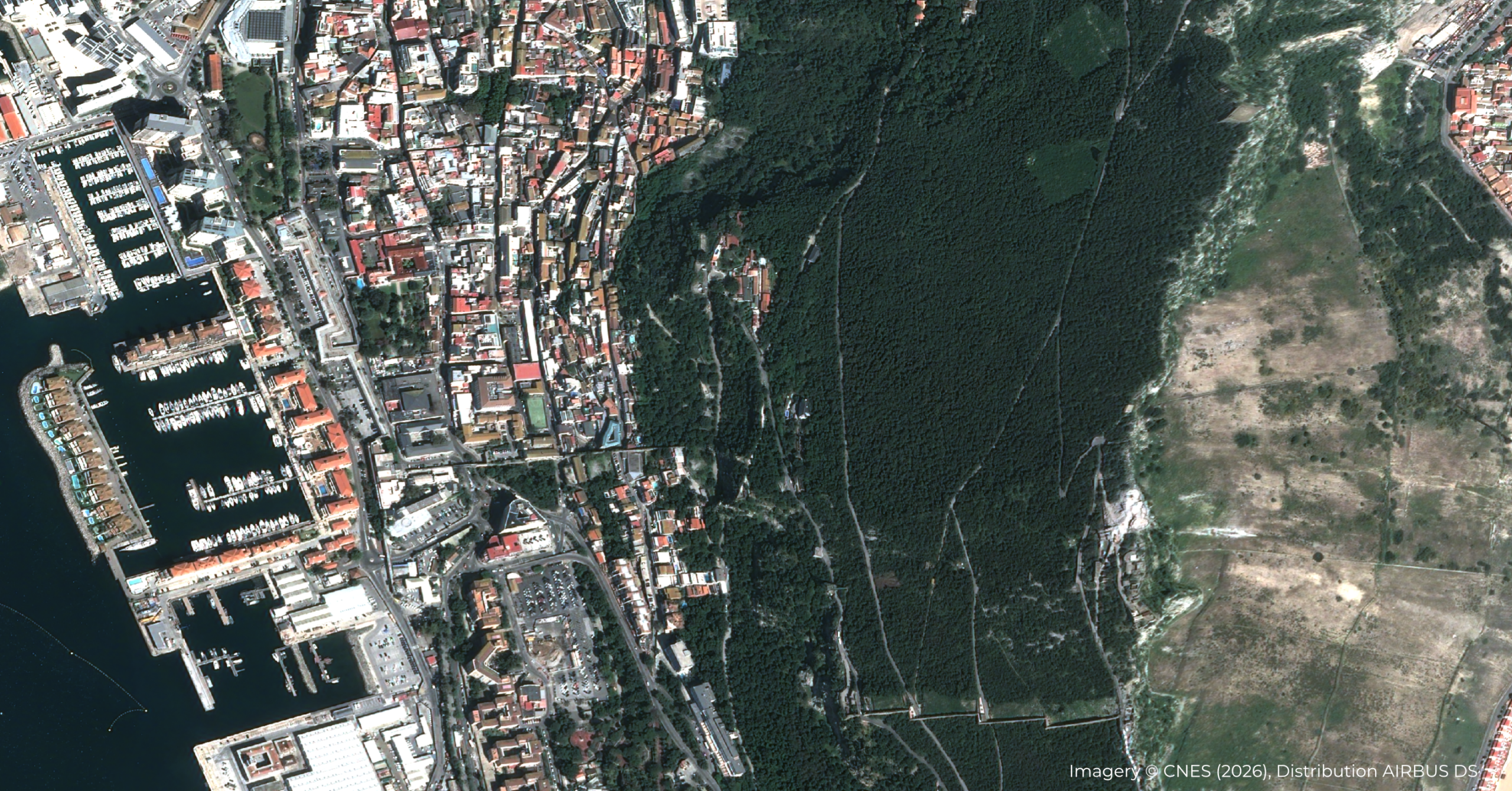
For this example, we started with an Airbus Pléiades Legacy scene over Gibraltar covering approximately 13.5 km².
The source data contained 53 megapixels of 4-band, 16-bit imagery, including near-infrared (NIR), and was still in its original zipped delivery file.
That last point is important.
The objective wasn't simply to demonstrate an AI model against an image that had already been carefully prepared for it. We wanted to demonstrate the workflow from imagery as delivered by the supplier to information that could be used in GIS.
No manual unzipping. No pansharpening. No band stacking.
The imagery was provided directly to Osprey.
The Osprey workflow
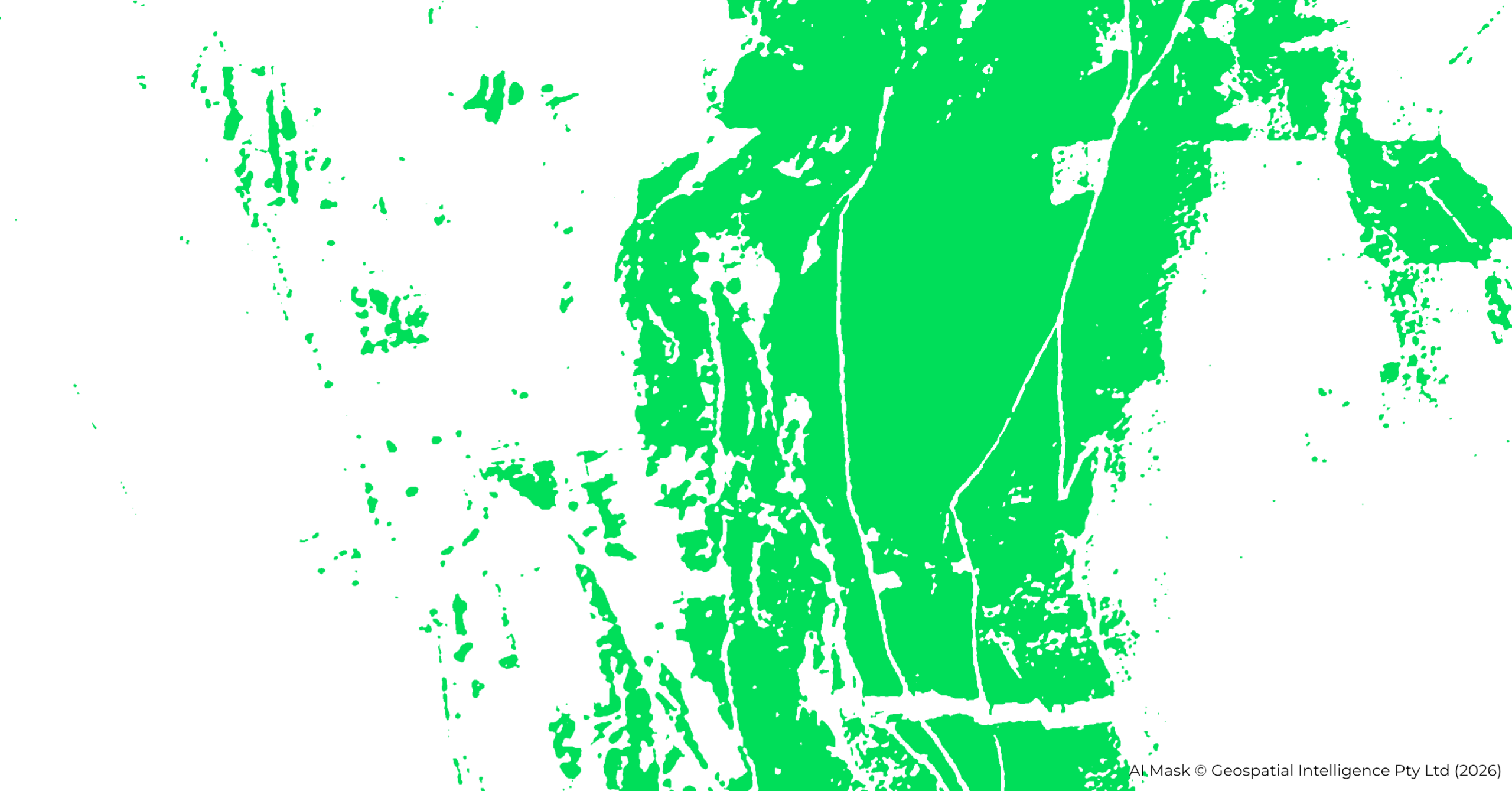
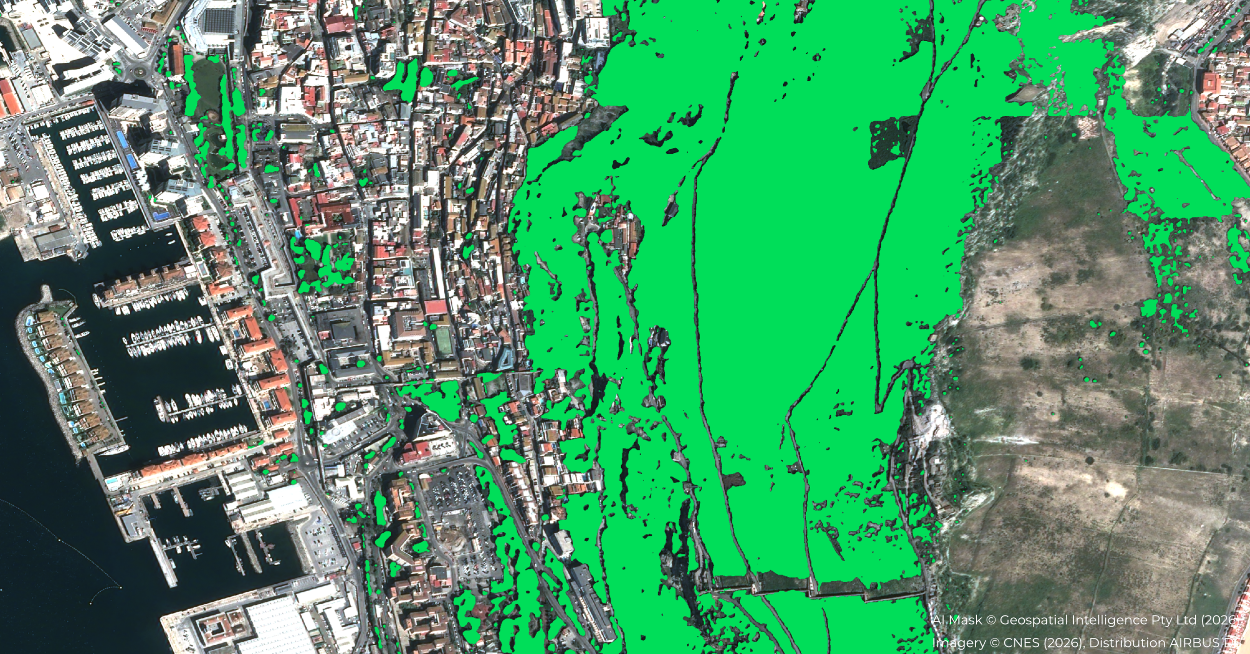
Osprey used GeoAI to identify areas of tree canopy across the scene and vectorise the result.
67 seconds later, the tree canopy layer was ready for the next stage of the GIS workflow.
Across the 13.5 km² scene, that's approximately 5 seconds of processing per square kilometre.
Rather than finishing with an AI visualisation or classification image, the objective is to produce geospatial information that can become an input into subsequent analysis.
For an urban heat study, for example, tree canopy isn't necessarily the question being investigated. It's one of the datasets needed to investigate the question.
By automating its creation, analysts can get to that next stage sooner.
Outcome
AI doesn't have to be perfect to be useful
The result isn't presented as a perfect delineation of every tree.
And that isn't really the point.
GeoAI can provide a repeatable first pass, with the resulting canopy layer available for an analyst to validate and refine according to the requirements of the application.
That changes where specialist time is spent.
Instead of starting with the extraction process, remote-sensing analysts can start with an existing canopy layer and concentrate their effort on quality control, refinement and interpretation.
For GIS professionals, it can also make information derived from satellite imagery more accessible, without requiring specialist remote-sensing expertise at every step of the workflow.
The human remains in the loop. The repetitive work is reduced.
Getting to the question that actually matters
Consider an analysis investigating the relationship between urban heat and tree canopy.
The real question isn't:
How do I extract trees from this satellite image?
It's something closer to:
Where is canopy providing protection from urban heat, where is it absent, and what does that mean for the area we're studying?
Creating the canopy dataset is an important step towards answering that question, but it isn't the end goal.
That's where we see the practical value of GeoAI.
Osprey shortens the path from imagery to useful geospatial information, so analysts can spend less time preparing data and more time using it.
At a glance
- Input: Airbus Pléiades Legacy imagery in its original zipped delivery
- Location: Gibraltar
- Area: 13.5 km²
- Imagery: 53 megapixels, 4-band, 16-bit including NIR
- Manual preprocessing: No unzipping, pansharpening or band stacking
- Processing time: 67 seconds
- Processing rate: approximately 5 seconds/km²
- Output: Vectorised tree canopy layer ready for subsequent GIS analysis
- Example downstream application: Urban heat and tree canopy analysis