Geospatial Intelligence Pty Ltd are excited to announce a new partnership with Satellogic, a leading global provider of high-resolution satellite imagery.
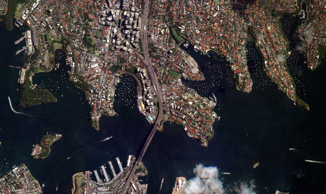
Satellogic designs, builds and operates its own fleet of Earth Observation satellites to collect affordable, high-resolution imagery. Its 4 multispectral bands (red, green, blue, near-IR) are delivered ortho-rectified and GIS-ready, available 70cm resolution on nadir.
With a constellation of 26 satellites in orbit, Satellogic provides a remarkable combination of high resolution, high revisit global coverage with up to seven daily revisits over points of interest.
To find out more about our newest partner, see our Satellogic product offering here.