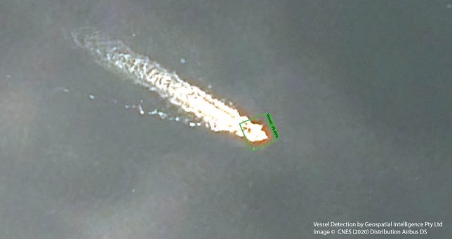
Unlocking Maritime Domain Insights using Machine Intelligence (MI)
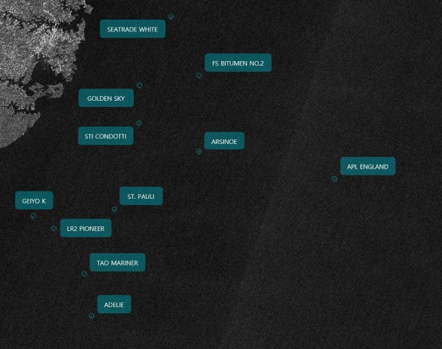
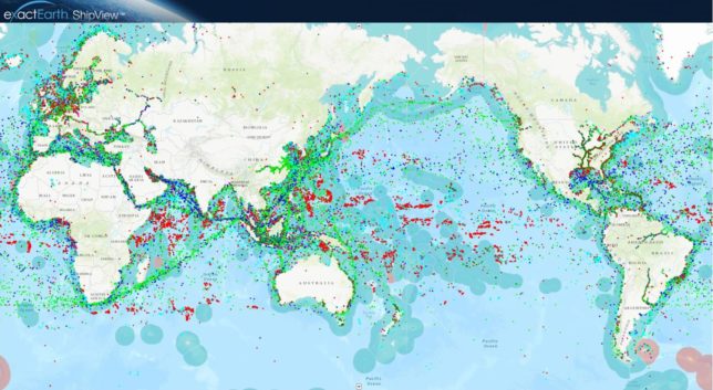
The detection of unlawful fishing, oil spills and other illicit activity may require area monitoring or a quick reaction to a looming hazard. Geospatial Intelligence (GI) uses Artificial Intelligence (AI) algorithms on earth observation imagery, fused with Satellite Automatic Identification Systems (AIS), to track vessels and report on their activity. Our services allow clients to […]
Unlocking Maritime Domain Insights using Machine Intelligence (MI) Read More »