

Monitoring Dugong Populations and Seagrass Health Using UAV Remote Sensing
Geospatial Intelligence used UAV imagery and automated anomaly detection to monitor dugong populations and seagrass ecosystems off Western Australia. Processing more than 70,000 aerial scenes provided new visibility into marine habitat health and environmental change, supporting long-term conservation planning.Continue reading→
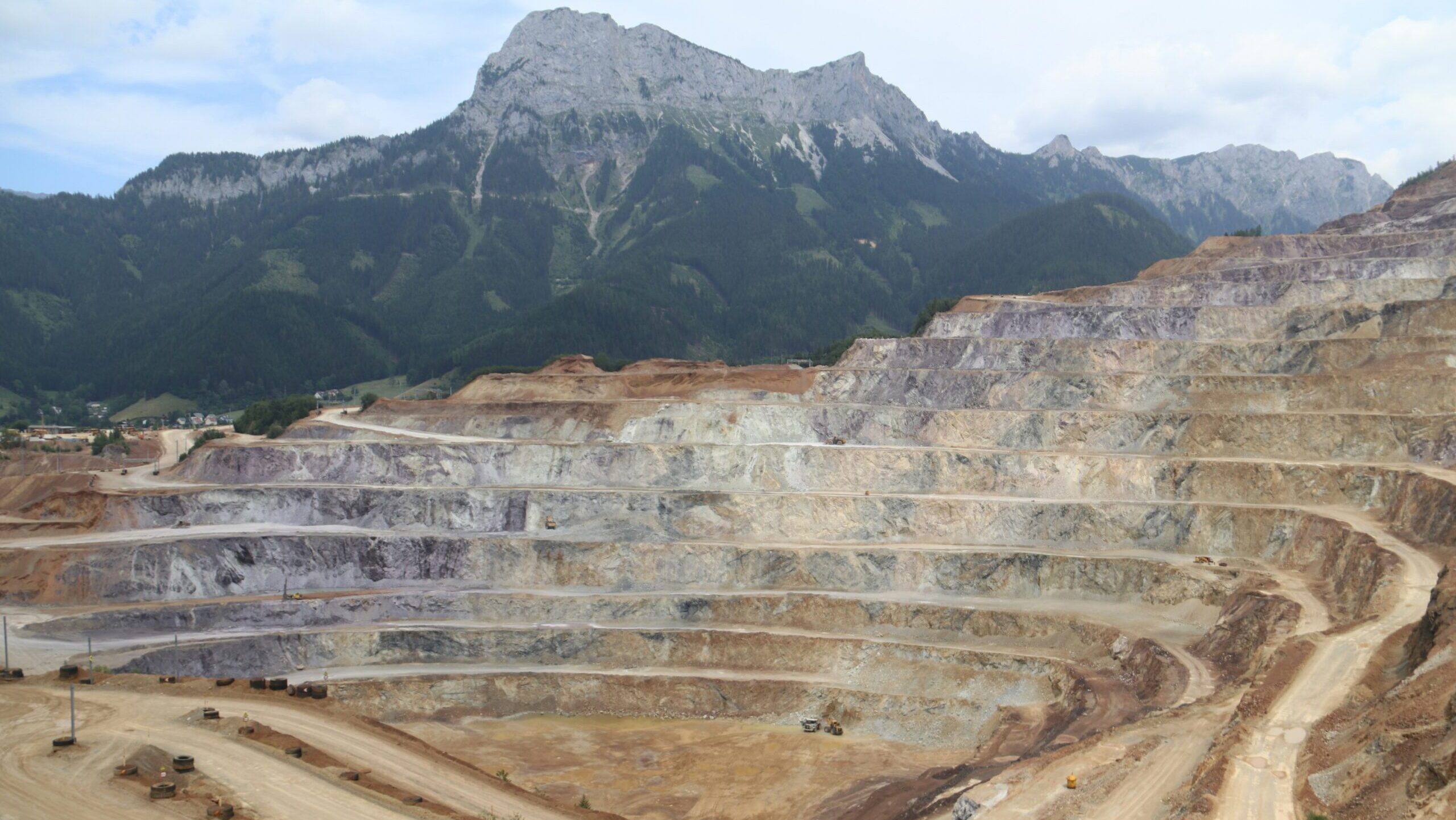
Monitoring Mine Site Integrity with EO and SAR Remote Sensing
Remote sensing using EO and SAR imagery enabled accurate monitoring of drill pads, subsidence, and site activity across a large Australian mining operation, improving safety and compliance.Continue reading→

Illegal, Unreported and Unregulated Fishing
Detecting illegal, unreported and unregulated fishing using satellite tracking, AI analysis and geospatial data to protect marine ecosystems and support sustainable fisheries.Continue reading→