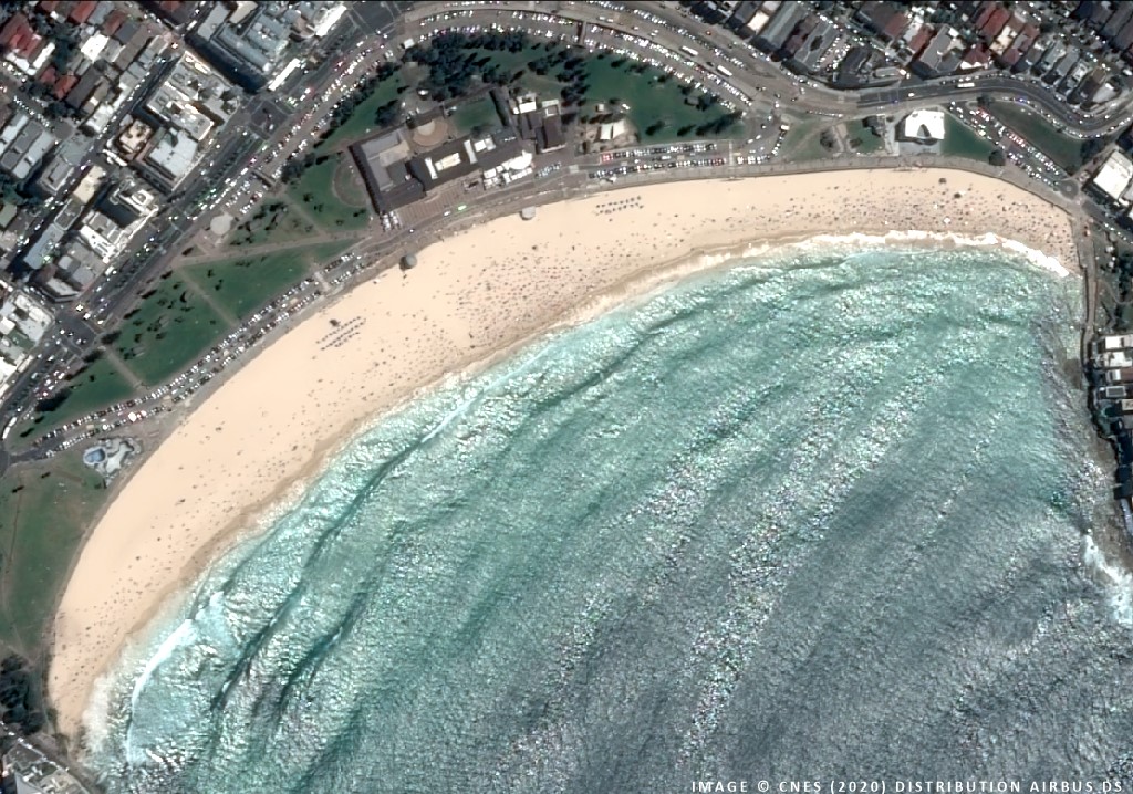
Automatic Dependent Surveillance-Broadcast (ADS-B)

Real-time aircraft tracking and air-domain intelligence

Geospatial Intelligence provides access to global ADS-B data to support aviation monitoring, security operations, intelligence analysis and situational awareness. By integrating ADS-B with satellite imagery, AIS, OSINT and analytics, we deliver a complete picture of air and maritime activity – anywhere on the planet.

ADS-B enables continuous tracking of aircraft identity, position, altitude, speed and heading. Satellite-based ADS-B extends coverage far beyond terrestrial receivers, providing persistent visibility over oceans, remote regions and high-risk air corridors.

Top-down aerial view of multiple commercial airplanes parked at airport gates, with one aircraft taxiing along the runway.

Satellite ADS-B coverage

We integrate ADS-B feeds into dashboards, analytical tools and intelligence workflows to support both operational monitoring and long-term pattern analysis

  • Visibility

    Global aircraft visibility, including remote and oceanic regions

  • Flight Data

    Low-latency real-time and historical flight data

  • Coverage

    Coverage beyond the reach of ground-based radar

  • Tracking

    Reliable tracking for commercial, general and selected government aviation

Case Studies

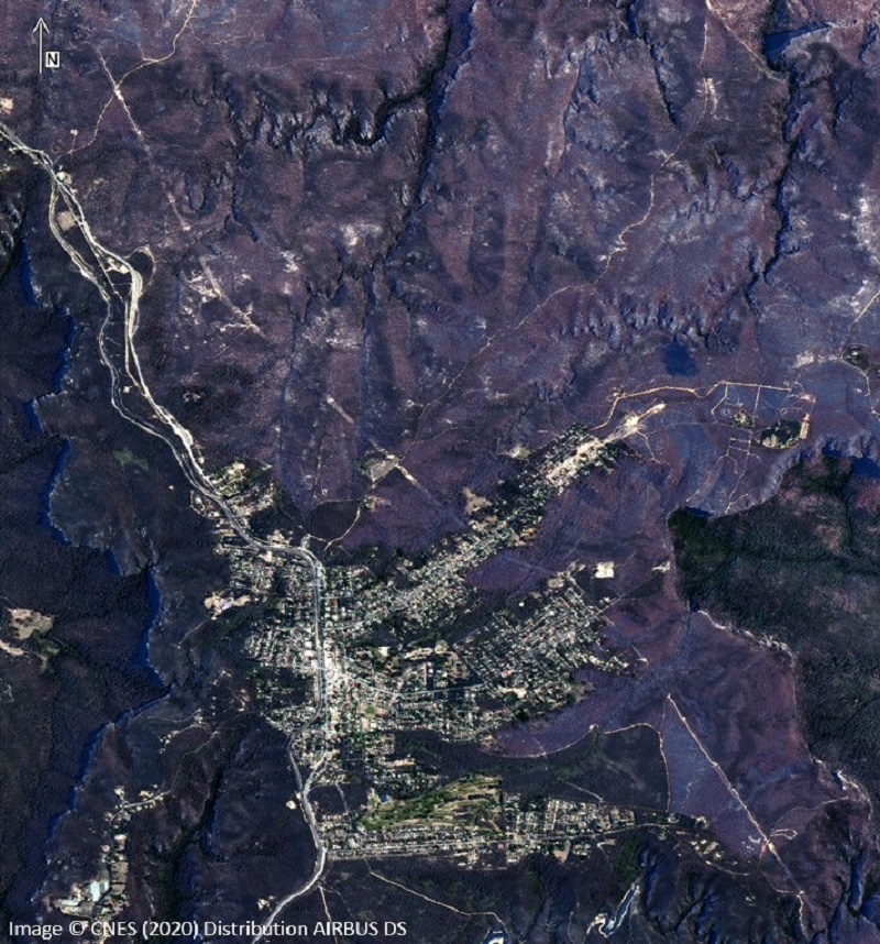
Black Summer from Space

Very-high resolution satellite imagery can be a powerful tool for monitoring the impact of environmental disasters. In this particular case, we have utilised 1.5m imagery which was captured pre and post fire. By applying remote sensing techniques, this multispectral satellite imagery provides an opportunity to investigate fire behaviour, drought, fire intensity and land management. Continue reading

Rear view of a commercial aircraft descending toward a runway at sunset, with runway lights glowing and mountains in the distance.

Why ADS-B matters

ADS-B allows organisations to:

  • Monitor global aircraft movements in near real time
  • Enhance air-domain awareness and operational planning
  • Detect unusual flight behaviour or unauthorised activity
  • Support border protection and security operations
  • Improve emergency response and search-and-rescue coordination
  • Combine air-tracking data with imagery and OSINT for deeper intelligence

Enhance air-domain awareness with trusted ADS-B intelligence

Get expert guidance on aircraft tracking data, coverage options and how ADS-B can be integrated with imagery, maritime data and open-source intelligence to support your mission

Scroll to Top