
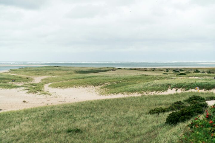
Spatial Carbon Accounting for Smarter Climate Action
A geospatial carbon accounting study mapped carbon storage and sequestration potential across Cape Cod, helping guide conservation, climate mitigation, and long-term regional resilience planning.Continue reading→
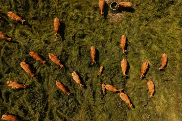
Detecting Biosecurity Gaps in Australia’s Livestock Sector
A geospatial intelligence case study showcasing how OSINT and satellite imagery were used to identify non-compliant livestock sites, improving biosecurity monitoring, traceability, and targeted intervention across Australia’s agricultural sector.Continue reading→