SPOT 6 and 7
- High resolution (1.5 m)
- Panchromatic and multispectral bands
- Wide coverage capacity with daily revisits anywhere
- Multi-year coverage of entire national territories
- Ideal for 1:25,000 mapping and can be used with scales up to 1:5,000
Product Description
SPOT 6 and 7
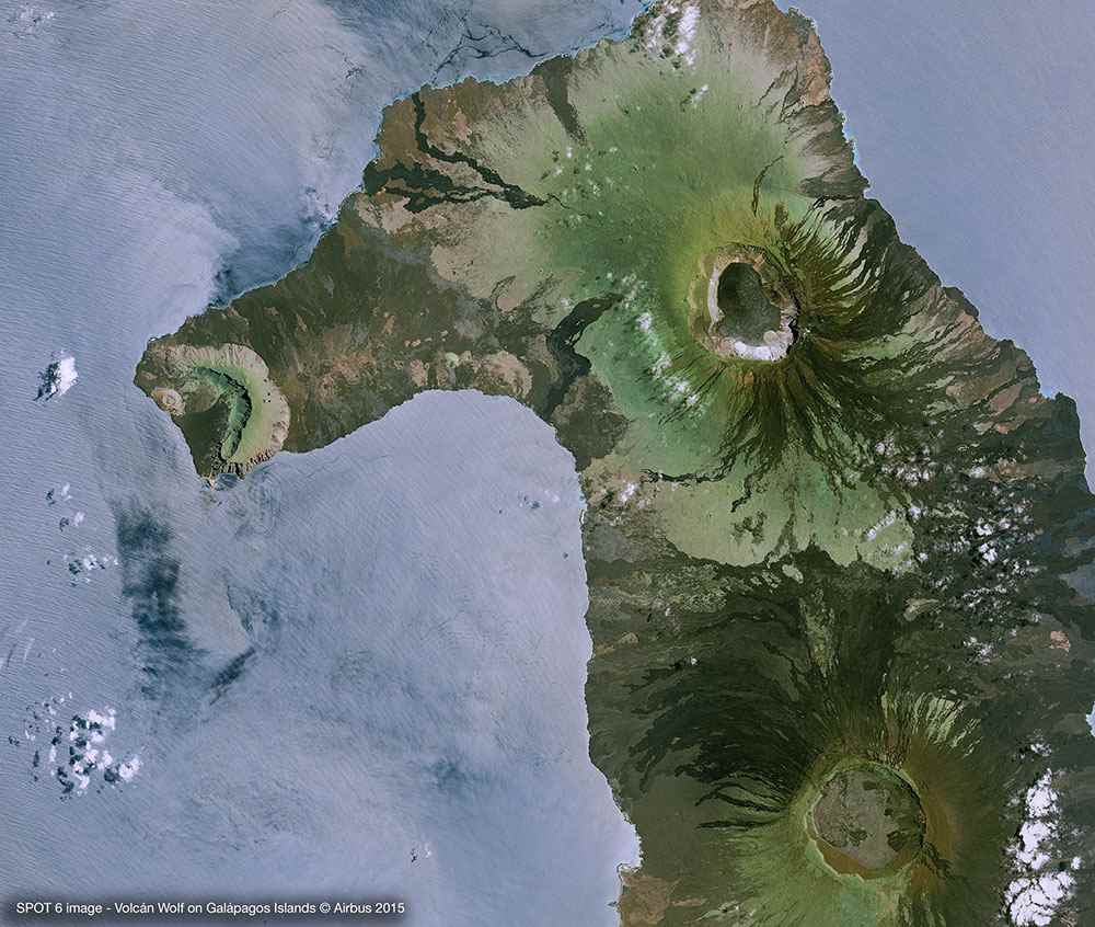
SPOT-6&7 satellite sensors were built by AIRBUS Defence & Space. They are optical imaging satellites capable of imaging the Earth with a resolution of 1.5 metre panchromatic and 6 metres multispectral (blue, green, red, near-IR). This satellite imagery will offer imaging products to customers in defence, agriculture, deforestation, environmental monitoring, coastal surveillance, engineering, oil, gas and mining industries.
Both ground and space segments have been designed for improved performances compared to previous SPOT missions, especially in term of reactivity from satellite tasking to product delivery and collection capacity. The constellation SPOT-6 and SPOT-7 will provide a daily revisit everywhere on Earth with a total coverage of 6 million km² per day.
| Provider | Airbus |
| Satellite/Constellation | SPOT-6, SPOT-7 |
| Resolution (Panchromatic) | 1.5 m GSD at nadir |
| Resolution Multispectral | 6 m GSD at nadir |
| Geolocational Accuracy CE 90 (without ground control) | <18 m CE 90 |
| Swath | 60 km at nadir |
| Spectral Bands | Panchromatic + 4 Band MS: Blue, Green, Red, NIR |
| Revisit Frequency | Daily |