

Geospatial Intelligence Pty Ltd Included in 2018 Australian Military Sales Catalogue
Tuesday 20 March 2018 Today, the Hon Christopher Pyne MP, Minister for Defence Industry, launched the 2018 Australian Military Sales Catalogue at Parliament House. Geospatial...Continue reading→
Geospatial Intelligence Proud to Support Sir John Monash Centre
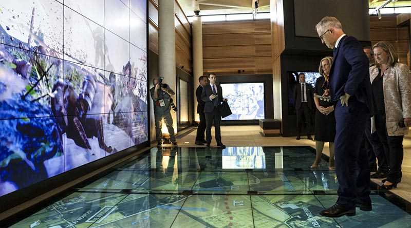
Australian Prime Minister, Hon Malcolm Turnbull, admires the digital displays at the new Sir John Monash Centre in Villers-Bretoneux, including a topographic map of the...Continue reading→