Machine Intelligence
AI-powered analysis for faster, more accurate geospatial insights
Geospatial Intelligence applies advanced Machine Intelligence (AI, Machine Learning and Deep Learning) to remotely sensed data, enabling rapid detection, classification and interpretation of features across land, sea and environmental domains.
Our systems accelerate workflows, enhance accuracy, and deliver intelligence products that support time-critical decision-making.

What we deliver
Automated Object Detection
Identify vessels, aircraft, infrastructure, sea ice, vegetation and other features across multi-sensor datasets.
Classification & Modelling
Apply image classification, spectral analysis and predictive models to support environmental, agricultural and operational needs.
Multi-Sensor Data Fusion
Fuse optical, SAR, multispectral, LiDAR, AIS and OSINT data to produce richer and more reliable intelligence outputs.
Predictive Analytics
Use historical and real-time data to forecast risks, environmental patterns, spread of disease and operational behaviour.

Applications across multiple domains
Our machine intelligence systems have been applied in:
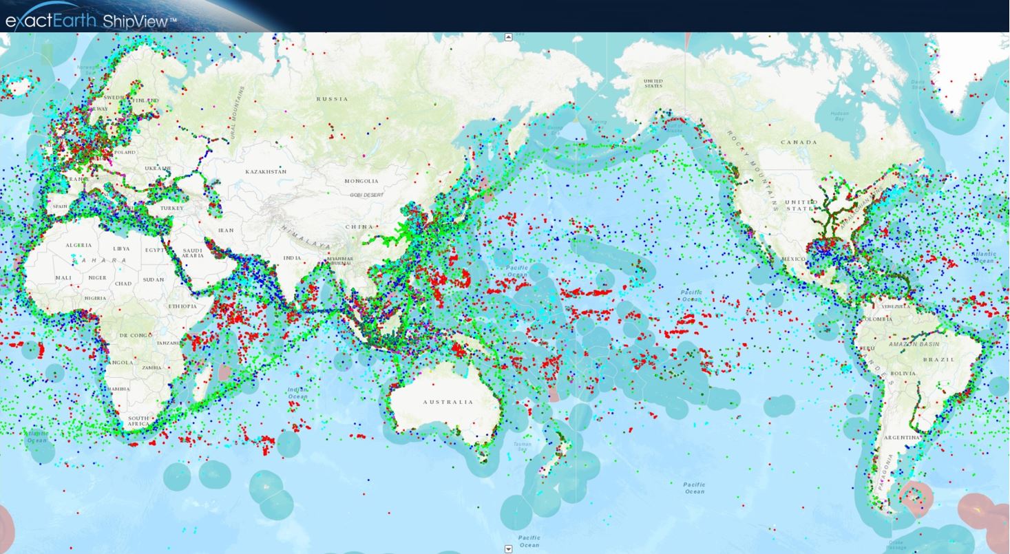
- Maritime surveillance: vessel detection, anomaly detection, oil spills, sea ice
- Defence & national security: infrastructure extraction, activity monitoring
- Agriculture & biosecurity: orchard management, crop health, environmental modelling
- Sustainability & climate: carbon projects, land cover change, ecosystem monitoring
- Public health: predictive modelling for disease spread
- Emergency management: rapid assessment of hazards or damage
Why use machine intelligence?
Machine Intelligence amplifies human expertise, giving analysts the speed, scale and precision required for modern geospatial problems
-
Faster Analysis at Scale
Accelerates analysis by reducing processing time from hours to seconds.
-
Improved Accuracy
Improves accuracy through consistent, repeatable outputs with reduced human error.
-
Scalable Processing
Handles large, complex datasets including high-resolution and multi-temporal imagery.
-
Automated Monitoring
Enables persistent monitoring through automated, scalable workflows.
-
Decision Support Intelligence
Supports mission-critical decisions with reliable, data-driven intelligence.
Case Studies

Australian Space Awards Nominations
The team at Geospatial Intelligence Pty Ltd are pleased to share the news that we have named as finalists in 5 categories for the Space...Continue reading→
Tracking COVID 19 from space
Could you track where you have been in the past 17 days? In light of the Covid-19 pandemic and the heightened interest in cruise liners,...Continue reading→

Why work with us
We combine deep Earth Observation knowledge with proven experience deploying AI in secure, operational environments. Our team builds and validates high-quality models using robust datasets, ensuring accuracy at scale. With domain expertise across maritime, defence, environment, agriculture and public health, we design AI that performs reliably in real-world conditions. Our solutions integrate seamlessly into existing systems and workflows, enabling organisations to accelerate analysis without disruption.
Enhance your workflows with AI-powered geospatial analysis.
Discover how machine intelligence can accelerate analysis, improve accuracy and scale your geospatial capability.