Meet the Team
The people behind the intelligence
At Geospatial Intelligence, our strength lies in our people. We bring together geospatial analysts, remote sensing specialists, software engineers, data scientists and intelligence professionals who share one goal: turning complex location data into clear, decision-ready insight.
Our team combines deep technical expertise with real-world operational experience across defence, government, environmental and commercial sectors. This blend of skills allows us to understand mission needs quickly, ask the right questions, and deliver solutions that work.
We believe great outcomes come from collaboration. That’s why we work closely with our clients, integrating seamlessly with their teams to build trust, transfer knowledge and deliver lasting capability.

Leadership team

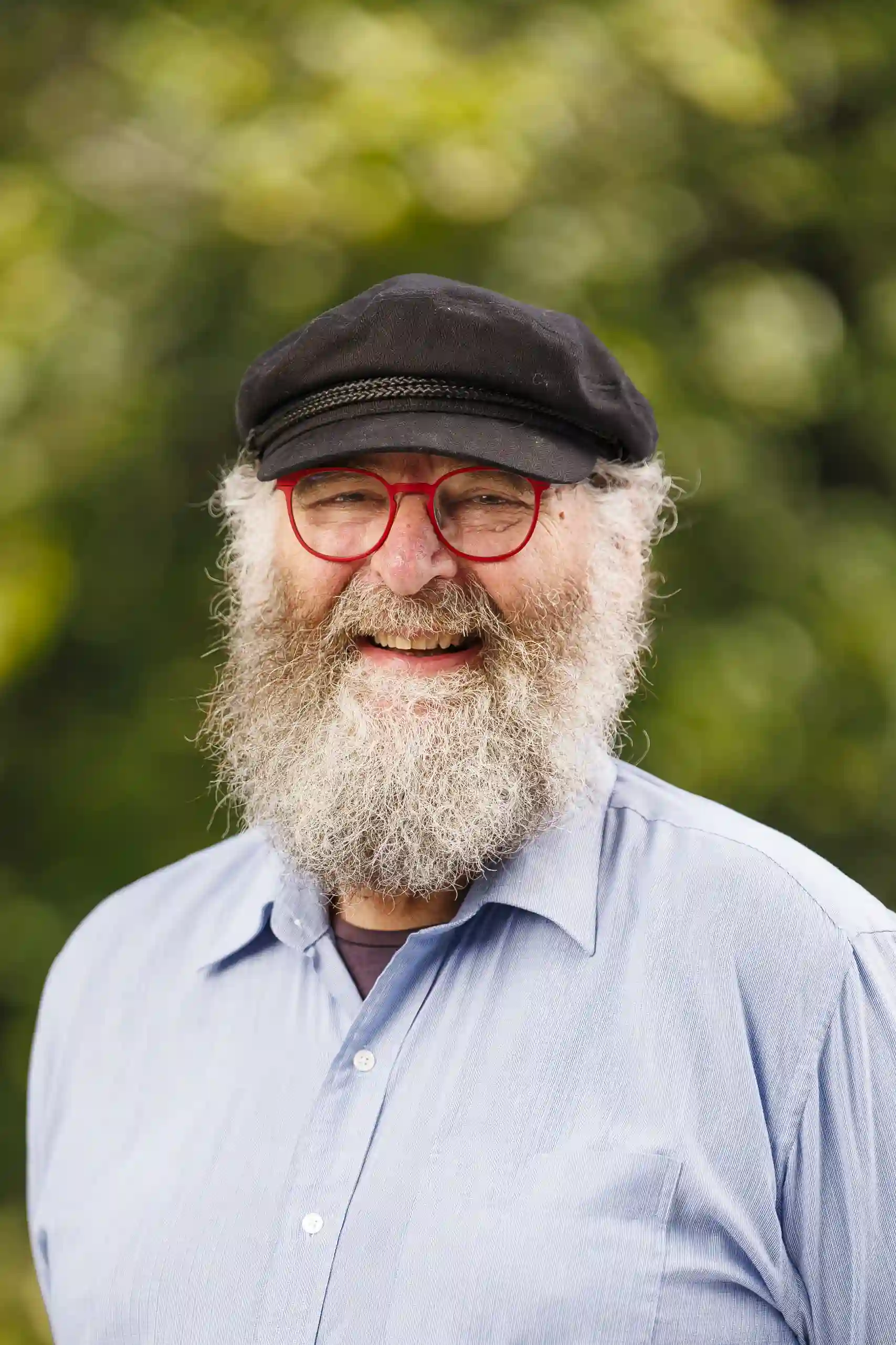
Rob Coorey
Chief Executive Officer/ Founder
Rob is a leading geospatial expert with more than 35 years’ experience across government, defence, and the space industry. He originally trained as a forester, working in fire modelling and government roles early in his career, before transitioning into geospatial technologies. He later established the ESRI Australia Canberra office and subsequently ESRI Australia Defence, expanding national access to advanced spatial capability. Before founding Geospatial Intelligence in 2002, Robert also held senior roles at Raytheon Australia, where he was instrumental in establishing Australia’s first commercial high‑resolution satellite ground station. His deep technical capability has underpinned the successful delivery of numerous world‑leading projects throughout his career. He brings customers deep geospatial insight and proven experience delivering technically robust, operationally critical solutions.

Domenic Madaffari
Chief Financial Officer
Domenic is a Chartered Accountant with more than 15 years’ experience spanning industry and consultancy. As Chief Financial Officer, he oversees financial management, accounting, human resources, governance, risk, and corporate strategy. With a strong background advising organisations on financial performance and operational efficiency, Domenic brings a disciplined, strategic approach to supporting long‑term organisational growth.

James Brown
Chief Technology Officer
James brings over 15 years of experience in artificial intelligence, data analytics and enterprise IT systems. As CTO, he leads the development of Geospatial Intelligence’s technology solutions including our award-winning Artificial Intelligence capability. James maintains a strong technical foundation supported by postgraduate study in data science and industry certifications in geospatial software development, cybersecurity and project management. His leadership ensures clients benefit from advanced, reliable technology solutions that transform complex data into actionable intelligence.

Mat Butler
Defence and Security / COO
Mat is a senior geospatial intelligence analyst with over 25 years’ experience in imagery analysis, intelligence, and target systems. His extensive background enables him to provide expert guidance across defence and national security domains. Mat’s expertise enables defence and national security clients to make faster, more informed decisions in high‑consequence environments.

Gary Richards
Sustainability
Gary has more than 40 years’ experience in environmental sciences across local, state, and national government, as well as global initiatives. His early career encompassed environmental planning, statutory approvals, vegetation mapping, and the development of environmental legislation. Gary continues to lead work that supports sustainable land use and environmental stewardship. His work supports customers seeking practical, scientifically grounded approaches to sustainable land management and environmental governance.

Chris Comer
Solutions & Data
Chris brings more than 25 years of experience in geospatial information systems, with deep expertise in Esri’s ArcGIS Enterprise suite. He is an innovative spatial systems specialist who has spent his career designing, configuring and delivering complex geospatial solutions across government, defence and industry. Chris excels at translating business requirements into practical geospatial architectures, ensuring clients achieve maximum value, efficiency and return on investment from their spatial data and systems.

Rylea McGlusky
Business Development Manager
Rylea is an experienced geospatial and business development professional specialising in geospatial intelligence and client engagement. She is committed to helping clients harness geospatial intelligence to drive operational excellence and informed decision‑making. She works closely with partners and stakeholders to identify opportunities, optimise practices, and support innovation across their organisations.
Subject matter experts
Chris Brack
Sustainability
Cris brings decades of experience in natural resource management, forest science, and ecosystem conservation. His recent work focuses on integrating environmental science into public policy to support biodiversity, strengthen food security, and promote sustainable management of critical ecosystems. He supports organisations seeking scientifically credible guidance on biodiversity, sustainability, and long‑term ecosystem resilience.

Rick Brown
Defence and Security
Rick is a highly experienced personnel and operations manager with a strong background in intelligence environments. His expertise spans management, imagery analysis, intelligence, and target systems. He is known for his strong analytical, organisational, and problem‑solving skills in demanding operational settings. Rick supports customers operating in demanding intelligence environments by ensuring analytical rigour and effective mission‑focused processes.

Rob Waterworth
Sustainability
Rob has built a distinguished career in forestry and land management, contributing across industry, government, NGO, technical, and scientific sectors. He is widely recognised for his ability to lead collaborative processes that bring together diverse stakeholders to address complex land‑use and environmental challenges. His collaborative approach helps clients address complex land‑use, climate, and resource challenges with evidence‑based solutions.
Start a conversation with our team and discover how geospatial intelligence can support you
From data to decisions, let’s talk about your mission