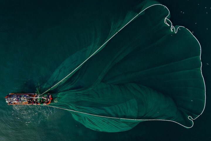
Sustainability

Geospatial intelligence for a more sustainable, resilient and climate-ready world

Geospatial Intelligence supports governments, industry and environmental organisations working to understand, protect and manage natural systems. Using spatial data, ecosystem models, advanced satellite imagery, analytics and AI, we help clients monitor change, measure impact and make informed decisions that support long-term environmental reporting and outcomes.

From carbon projects to coastal ecosystems, our expertise enables you to see what’s happening, where it’s happening, and why it matters.

Turquoise meltwater pools and fragmented ice floes in a polar environment, indicating melting sea ice.

Sustainability capabilities

Intelligence designed to support environmental monitoring, climate resilience and evidence-based reporting

Environmental Monitoring & Assessment

A strategic, data-driven view of environmental change

Satellite imagery combined with models and spatial information provides a consistent, scalable and objective way to monitor landscapes over time.
Geospatial Intelligence delivers analysis that supports:

  • Carbon abatement and vegetation mapping
  • Water quality and hydrological assessment
  • Forest inventory, biodiversity and habitat monitoring
  • Urban expansion and land-use planning
  • Coastal, reef and marine ecosystem monitoring
  • Heritage and cultural site preservation

Our team extracts meaningful insight from optical, radar, multispectral and hyperspectral datasets and applies these data in models that can translate complex environmental data into clear, actionable insights.

Sustainability Services

Practical services that turn environmental data into decision-ready insight

Our services help organisations understand environmental change, manage risk and meet sustainability goals through evidence-based insights.

We support clients with:

  • Environmental and land-use analytics
  • Change detection and temporal monitoring
  • Ecosystem health assessment
  • Climate risk and impact modelling
  • Carbon estimation and verification support
  • Custom mapping, environmental reporting and dashboards

These services can be delivered as one-off assessments, recurring monitoring programs, or integrated into operational workflows.

Consulting & Advisory

Expert guidance for environmental decision-making

Our consultants work alongside your team to design, implement and deliver geospatial strategies that support sustainability, conservation and climate-readiness.

We provide:

  • Analysis of policy and reporting requirements relevant to your organisation
  • Geospatial data acquisition and planning
  • Analytical design, modelling and workflow development
  • Technical frameworks for long-term monitoring
  • Specialist support for environmental reporting and compliance

Whether you’re building internal capability or need ongoing analytical support, we help turn complex datasets into defensible, decision-ready insights.

Case Studies

Aerial view of a narrow, dark river curving through bright green tropical forest.

Why work with us

Geospatial Intelligence supports defence, security and law-enforcement organisations with reliable, objective and operationally focused intelligence. Our analysts understand mission environments and time-critical decision-making. We integrate imagery, tracking data and open-source intelligence into products that strengthen situational awareness and support confident operational planning.

Build a more sustainable future with data-driven environmental insight

Talk to our team about how geospatial intelligence can support your sustainability, climate or environmental monitoring objectives

Scroll to Top