SAR Satellite Imagery
Reliable intelligence in any weather, any time
Synthetic Aperture Radar (SAR) imagery provides consistent, high-resolution intelligence regardless of cloud, smoke, darkness or adverse weather. This makes SAR essential for defence, maritime, environmental and emergency operations where uninterrupted visibility is critical.

What SAR imagery delivers
SAR is ideal for persistent monitoring and applications where optical imagery is limited or unavailable
-
Maritime Surveillance
Vessel detection, dark targets, anomaly detection
-
Flood Mapping & Environmental Monitoring
Water extent, soil moisture, land cover change
-
Deformation & Movement Monitoring (InSAR)
Subsidence, infrastructure stability, landslides
-
All-Weather Monitoring
Cloud-prone, remote or inaccessible regions
-
Rapid, Time-critical Intelligence
Day/Night Operations
When SAR Is the Best Choice
Choose SAR when:
- You require coverage during cloud, storms, smoke, night-time or winter
- You need to track vessels far offshore
- You are assessing flood impacts or standing water
- You require precise measurement of ground movement
- You need highly reliable monitoring at regular intervals
If visual interpretation or colour-based classification is required, optical imagery may be a better fit.

SAR Constellations We Provide
Through our partners, we supply both new tasked collections and extensive archive coverage from leading radar systems:
-
Capella
Capella operates a global, all‑weather X-band SAR constellation delivering very‑high‑resolution (down to 0.25 m) radar imagery with rapid, automated tasking and persistent coverage for mission‑critical monitoring.
-
Sentinel – 1A/1B/1C
Sentinel‑1 is ESA’s all‑weather, day‑and‑night C‑band radar mission delivering frequent, reliable imagery for land, ocean, ice and emergency monitoring through a constellation of identical satellites.
-
TerraSAR-X and TanDEM-X (0.25m)
TerraSAR‑X is a German X‑band SAR satellite delivering sub‑metre wide‑area, all‑weather InSAR compatible imagery with outstanding geometric accuracy as part of the Airbus radar constellation.
-
PAZ
PAZ a Spanish X‑band SAR satellite, delivering high‑resolution all‑weather imagery and operating in constellation with TerraSAR‑X and TanDEM‑X to reduce revisit times.
-
Synspective Strix
StriX is Synspective’s constellation of 100 kg class X band SAR satellites, delivering 1–3 m resolution, all weather imaging.
Case Studies
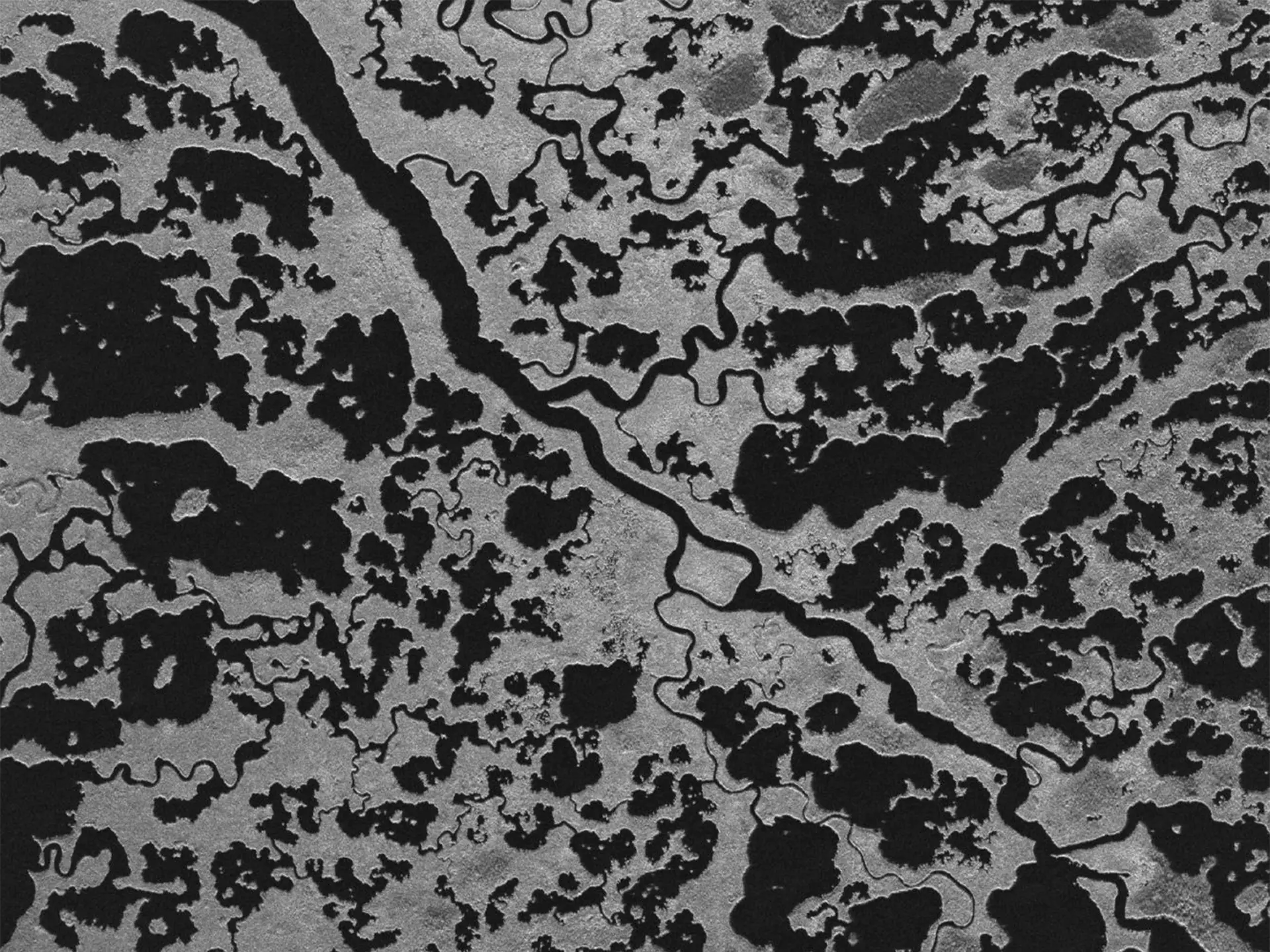
Reef Pattern of Activity Analysis for Marine Protected Area Compliance
Geospatial Intelligence conducted a Pattern of Activity analysis across a newly declared Marine Protected Area in northern Queensland, using optical and SAR sensors alongside AIS data to monitor vessel behaviour. The study provided authorities with clear insights into maritime activity and enabled rapid identification of vessels breaching restricted zones.Continue reading→
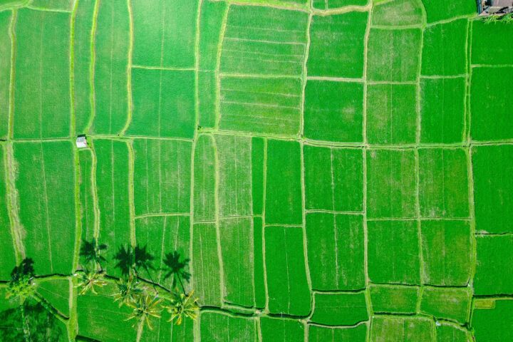
The Link Between Rice and Terrorism
Geospatial Intelligence analysed patterns of improvised explosive device (IED) incidents in an Asian region to uncover the drivers behind recurring spikes in violence. By combining OSINT sources with temporal analysis, the study revealed a strong link between IED activity and the agricultural cycle, particularly during months when rice is not harvested. These insights support more targeted prevention strategies, including socio-economic programs and improved planning for security and travel risk management.Continue reading→

Enhance your SAR data
Our specialists process and analyse radar datasets to transform them into actionable intelligence:
- Flood mapping & water delineation
- InSAR deformation analysis (infrastructure, mining, subsidence)
- Vessel detection and maritime domain awareness
- Change detection (activity, construction, disturbance)
- Surface roughness, land cover and continuity analysis
- Multi-sensor fusion with optical imagery, AIS, OSINT and more
Get reliable intelligence in any weather, day or night
Get expert guidance on the right imagery for your project
