
AI-powered geospatial intelligence for faster, smarter decision-making
Osprey is a cloud-based geospatial processing platform that brings advanced AI and machine learning directly to your web browser. Built for analysts, planners and decision-makers, Osprey transforms complex geospatial data into clear, actionable intelligence without the need for specialised hardware or complex installations.
Whether you’re monitoring environmental change, mapping land use, extracting features or responding to emergencies, Osprey delivers the speed, scalability and accuracy you need to act with confidence.
What Osprey does
Comprehensive Image Processing
Prepare imagery efficiently with support for:
- GeoTIFF, JP2K, and compressed archives (e.g., .tar.gz)
- Optical, multispectral and SAR datasets
- Standardised image preparation pipelines
Osprey ensures your data is ready for accurate downstream analysis.
Batch Processing for Efficiency
Handle high-volume workflows with ease.
- Submit multiple jobs at once
- Queue, manage and monitor tasks in real time
- Process very large datasets efficiently
Osprey is built for organisations dealing with high-throughput imagery.
Seamless AI Model Integration
Integrate powerful AI models into your workflows without code or complex configuration.
- Pixel-level segmentation
- Object detection & classification
- Automated feature extraction
- Remote sensing classification tools
AI-driven insights are available on demand, speeding up analysis and improving accuracy.
Flexible, Transparent Billing
Only pay for the pixels you process.
Osprey’s usage-based model ensures cost-efficiency for small teams and large enterprises alike.
Advanced Processing Tools
Osprey includes a suite of professional processing options:
- AI-based segmentation
- Classification to vector formats
- Pixel value stretching (8-bit)
- Spatial filtering
- Spectral and spatial indices (e.g., NDVI)
These tools ensure precise results tailored to your operational needs.
Technology built for today’s geospatial challenges
Modern remote sensing requires tools that can adapt to massive datasets, multiple sensor types and evolving operational needs. Osprey combines:
- High-performance cloud compute
- Deep learning models optimised for remote sensing
- Scalable architecture for large imagery collections
- Intuitive interfaces for analysts and non-technical users
This is why Osprey is becoming an essential tool for modern geospatial intelligence workflows.

Case Studies

Australian Space Awards Nominations
The team at Geospatial Intelligence Pty Ltd are pleased to share the news that we have named as finalists in 5 categories for the Space...Continue reading→
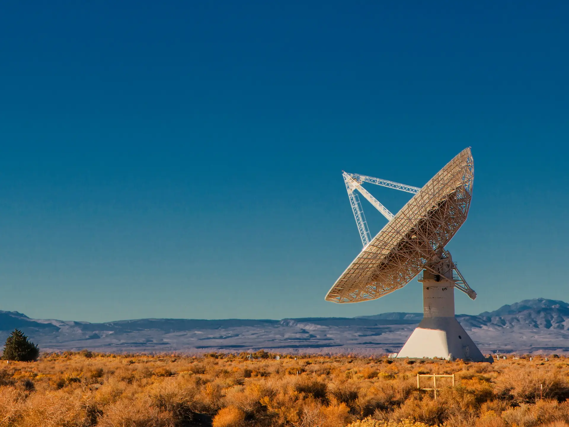
Tracking COVID 19 from space
Could you track where you have been in the past 17 days? In light of the Covid-19 pandemic and the heightened interest in cruise liners,...Continue reading→

Why Osprey?
Osprey is designed for organisations that need powerful geospatial analytics without the overhead. It offers:
- Immediate access through your web browser
- Fast AI-driven analysis at scale
- Automated workflows for large datasets
- A transparent, pay-per-pixel billing model
- Support for both optical and SAR imagery
- Consistent, repeatable, high-quality outputs
Ideal for environmental monitoring, agriculture, urban planning, defence, emergency management, and infrastructure assessment.
Book a demo
Start processing at scale with AI-powered geospatial analysis in your browser
Talk to our team about deploying Osprey for your imagery and analysis workflows