About
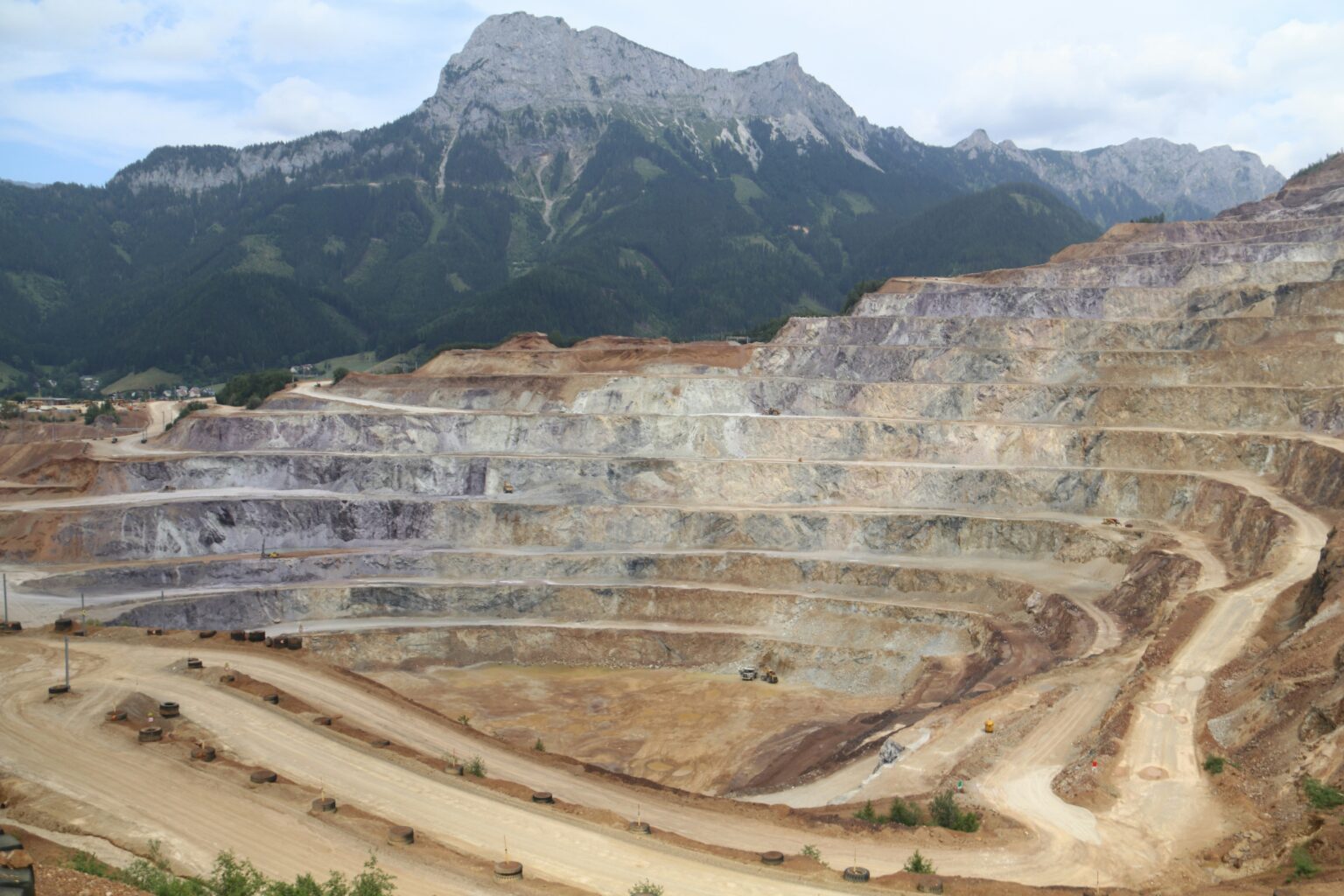
A resource development site in regional Australia required a more efficient and safer method to monitor drilling pad locations and surrounding infrastructure. The site covered a vast area, making traditional ground‑based surveys time‑consuming, labour‑intensive, and costly. To enhance operational safety, meet compliance requirements, and reduce manual monitoring burdens, Geospatial Intelligence was engaged to conduct a remote sensing–based integrity assessment using Electro‑Optical (EO) and Synthetic Aperture Radar (SAR) imagery.
The Challenge
The resource development industry is facing multiple operational and environmental pressures that heighten the need for accurate, repeatable monitoring of large‑scale production areas. The primary risks identified included:
-
DIFFICULTY MONITORING REMOTE OR VAST AREAS
Mining infrastructure spans extensive and often difficult‑to‑reach terrain, making regular on‑ground inspections labour‑intensive and inefficient.
-
GROUND SUBSIDENCE & STRUCTURAL INTEGRITY RISKS
Drill pads, slopes and supporting infrastructure are susceptible to millimetric ground movements that can compromise operational safety if undetected.
-
LIMITED VISIBILITY INTO ONGOING SITE ACTIVITY
Changes caused by vehicle movements, construction activity, and earth disturbance require continuous monitoring to ensure compliance and risk management.
Methodology
We applied a fusion of remote sensing technologies to streamline the monitoring process:
- Very‑high‑resolution EO imagery was used to capture road centrelines, road edges, and drill pad boundaries. Feature detection algorithms automated much of this digitisation.
- High‑resolution SAR imagery was processed as interferometric stacks to measure millimetric ground subsidence across drill pads and slopes.
- Coherent change detection using SAR enabled monitoring of construction activity and both light and heavy vehicle movements.
This multi‑sensor approach allowed ongoing assessments of surface irregularities, ground disturbances and potential structural risks.

Outcome
We successfully produced detailed compliance and risk‑management reporting that improved the mine’s ability to monitor the health of its infrastructure. Key outputs included:
- Periodic updates on structural changes and surface disturbances
- Identification of potential areas requiring further inspection
- Robust, repeatable measurements supporting legislative compliance
- Fully integrated insights that could be aligned with the client’s existing survey processes
This remote sensing–based approach reduced manual effort, increased monitoring accuracy, and enhanced operational safety across the site.