About
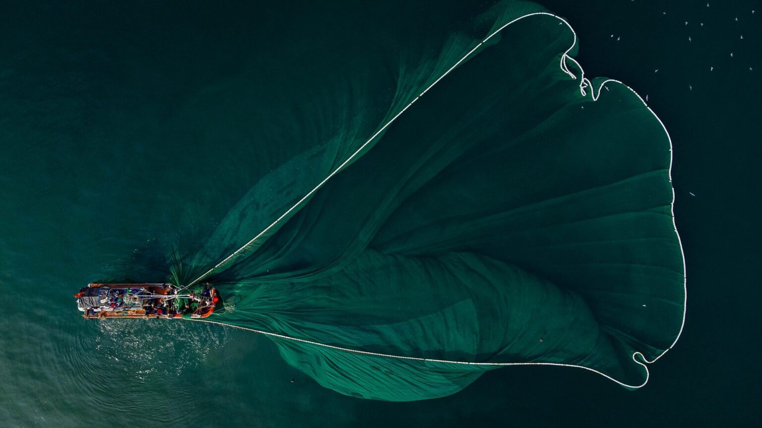
Australia’s maritime domain and the broader Pacific region have long‑established fishing traditions that become increasingly threatened by Illegal, Unreported, and Unregulated (IUU) fishing activities that undermine sustainable fisheries management and endanger marine ecosystems. As global fishing pressure intensifies, illicit operations continue to exploit vulnerable waters, resulting in biodiversity loss, declining fish stocks, and severe economic consequences for local communities. To address these challenges, regional authorities partnered with us to implement a monitoring, analysis and reporting program. Leveraging advanced satellite‑based vessel tracking, behavioural classification models, and geospatial analytics, the project aimed to detect illegal fishing activity, evaluate its ecological and economic impacts, and develop data‑driven strategies for improved marine governance.
The Challenge
-
WIDESPREAD IUU ACTIVITY
Illegal, unreported and unregulated fishing contributes significantly to global overexploitation, accounting for billions in lost fish stocks annually. These activities occur across the world’s oceans, often in restricted zones and protected areas where enforcement resources are limited.
-
DIFFICULTY TRACKING VESSELS OVER VAST OCEAN AREAS
With oceans covering more than 96% of Earth's water surface, monitoring fishing fleets at scale poses significant challenges. Limited visibility, intentional vessel concealment, and the remote nature of fishing grounds make enforcement difficult without technological intervention.
-
SIGNIFICANT ECONOMIC AND SOCIAL IMPACTS
IUU fishing undermines legitimate fisheries, reduces income for coastal fishing communities, and destabilises global seafood markets. It directly contributes to the depletion of fish populations, threatening food security in regions dependent on marine protein.
-
ECOLOGICAL DAMAGE TO MARINE ECOSYSTEMS
Industrial-scale illegal fishing disrupts critical habitats and accelerates biodiversity decline, reducing ecosystem resilience and diminishing reproductive capacity of key species.
Project Overview
The reporting employed cutting‑edge geospatial technologies to identify, track, and analyse illegal fishing activity:
- AIS‑based satellite tracking captured vessel movements globally, enabling analysts to classify whether ship behaviour indicated fishing or non‑fishing activity based on speed, direction, and identity signals.
- Global Fishing Watch mapping tools, developed through partnerships between conservation organisations and technology providers, allowed near real‑time public access to commercial fishing activity worldwide.
- Machine‑learning behavioural models processed billions of AIS data points, distinguishing legitimate operations from suspicious patterns and identifying vessels likely engaged in illegal harvesting.
- Protected‑area compliance monitoring supported enforcement efforts by revealing illegal incursions into marine reserves and evaluating the effectiveness of strict conservation zones.
Through these tools, the project produced high‑resolution spatial data layers, hotspot maps of IUU incidents, and analytical reports for fisheries managers and enforcement agencies.
Outcome
The IUU fishing analysis provided a robust framework to strengthen maritime governance capabilities such as:
- Enhanced monitoring of previously untraceable vessels, reducing enforcement blind spots.
- Coherent compliance assessment, confirming that strongly protected marine reserves serve to deter IUU fishing, demonstrating the value of strict marine‑protected‑area (MPA) policies.
- Improved sustainability planning, allowing resource managers to anticipate risk areas, adjust monitoring strategies, and inform policy development.
- Support for coastal communities, helping ensure long‑term fish stock health and stabilising local economies dependent on legal, sustainable fishing activities.
Overall, the project established a vital geospatial foundation for combating IUU fishing, enabling more transparent, accountable, and effective ocean stewardship.