

Satellite-Based Oil Spill Monitoring
Synthetic Aperture Radar (SAR) satellite monitoring helped detect oil spills across the Great Barrier Reef, Torres Strait, and North West Shelf, improving response coordination and marine ecosystem protection.Continue reading→
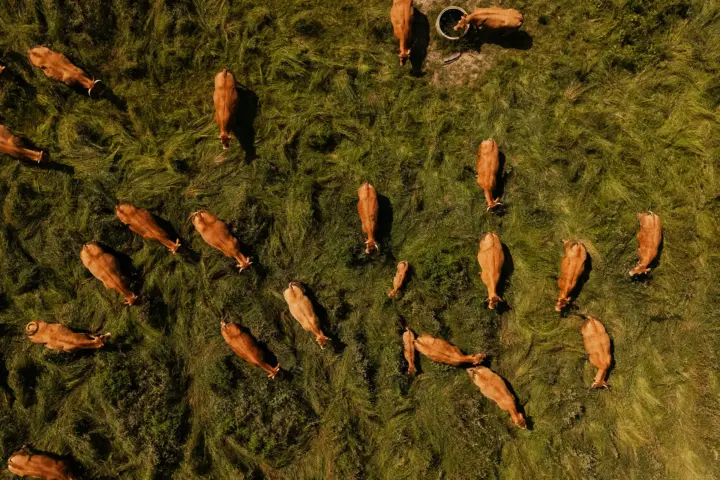
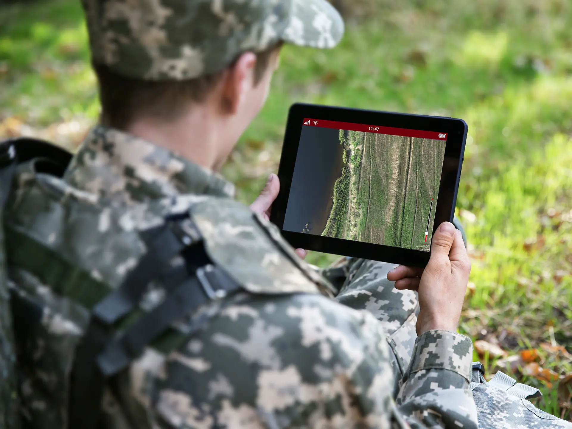
Detecting Biosecurity Gaps in Australia’s Livestock Sector
A geospatial intelligence case study showcasing how OSINT and satellite imagery were used to identify non-compliant livestock sites, improving biosecurity monitoring, traceability, and targeted intervention across Australia’s agricultural sector.Continue reading→
