About
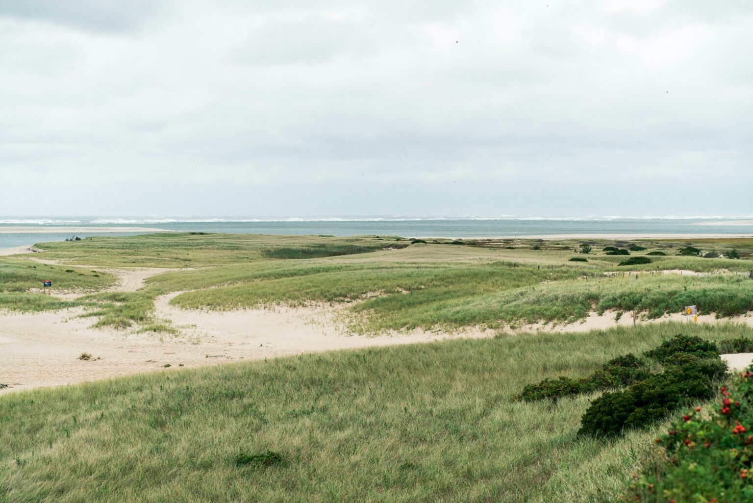
A coastal region on Cape Cod, Massachusetts, characterised by its diverse natural and working landscapes - including forests, wetlands, agricultural areas, and extensive coastal ecosystems sought to strengthen its climatemitigation efforts by gaining a deeper understanding of its carbon storage capacity. With growing climate pressures and increasing landuse challenges, the region aimed to quantify carbon stocks, assess sequestration potential, and inform longterm sustainability planning. We were engaged to conduct a comprehensive carbon accounting study using advanced GIS and remote sensing tools to analyse landbased carbon dynamics, identify environmental risks, and model datadriven strategies for improved regional climate resilience.
The Challenge
Cape Cod’s environmental and socioeconomic context presents several interrelated challenges that directly affect carbon storage capacity and longterm climate mitigation goals:
-
LANDUSE PRESSURE
The region’s natural landscapes face increasing development pressure, threatening forests, wetlands, and other highvalue carbonsequestering ecosystems. Loss or fragmentation of these lands reduces the region’s ability to offset emissions.
-
CLIMATE CHANGE IMPACTS
Sealevel rise, erosion, flooding, and shifting ecological conditions are altering the structure and function of coastal and inland ecosystems. These disturbances affect carbon density and influence the longterm stability of carbon stocks in soils and vegetation.
-
LIMITED VISIBILITY INTO ONGOING SITE ACTIVITY
Changes caused by vehicle movements, construction activity, and earth disturbance require continuous monitoring to ensure compliance and risk management.
-
DATA GAPS IN CARBON ACCOUNTING
Prior to this study, decision makers lacked accessible, spatially explicit data on carbon storage across the region. This limited the ability to implement targeted conservation strategies, quantify climate benefits, or track progress toward emissions reduction goals.
Methodology
Through this research initiative, the region gained access to advanced geospatial analysis, including:
- Highresolution maps of carbon storage across major ecosystem types
- Estimates of sequestration potential under various management scenarios
- Spatial identification of priority areas for conservation, restoration, and climate adaptation
- Tools and visualizations enabling planners, policymakers, and community stakeholders to understand carbon patterns at regional and local scales
These outputs were delivered via ArcGIS StoryMaps, combining maps, datasets, and narrative guidance to support evidencebased climate planning.
Outcome
The carbon accounting study established a foundational scientific baseline for Cape Cod’s climatemitigation strategy. With clear, spatially rich information, regional leaders can now:
- Prioritize land conservation where it yields the greatest carbon benefit
- Protect and restore ecosystems that act as longterm carbon sinks
- Support climatesmart landuse decisions
- Integrate carbon data into broader resilience and emissionsreduction planning
This initiative sets the stage for ongoing innovation in naturebased climate solutions, ensuring that Cape Cod’s natural and working lands continue to play a central role in regional sustainability and climate resilience.