About
In Australia’s livestock industry, biosecurity breaches often occur when smallscale landholders fail to meet traceability and compliance requirements. These gaps pose significant risks to consumer safety, livestock health, and the broader agricultural supply chain. To support targeted intervention, Geospatial Intelligence (was engaged to locate potential livestock sites using opensource intelligence (OSINT) and highresolution satellite imagery.
The Challenge
Biosecurity authorities face multiple barriers when attempting to identify noncompliant livestock owners. The primary risks identified included:
-
LIMITED TRACEABILITY
Smalllandholder livestock populations are difficult to detect and monitor, increasing the risk of unreported animals entering or moving through the supply chain.
-
LABOURINTENSIVE DETECTION METHODS
Groundbased compliance and inspection activities require significant time and resources, making them impractical for large geographic regions.
-
DISCONNECTED INFORMATION SOURCES
Traditional systems lack streamlined access to realtime livestock trading data, delaying critical biosecurity responses.
Methodology
We used OSINT sources, including publicly available livestocktrading websites, to automatically extract geographic information from classified advertisements. This data was processed into heat maps that revealed concentrations of trading activity.
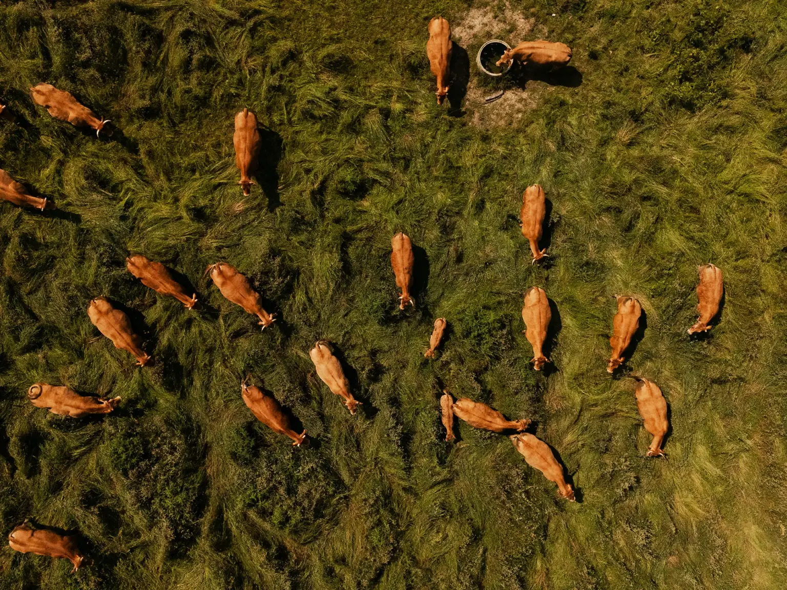
Multispectral highresolution satellite imagery was then analysed to identify physical features indicating the presence of livestock, and an automated model was developed to validate these findings.
Outcome
The pilot study successfully identified numerous potential livestock locations and produced actionable location intelligence to guide targeted biosecurity education and compliance efforts. OSINT provided timely spatial data, while satellitederived indicators enabled verification of livestock sites at scale—delivering a remote, efficient, and costeffective monitoring solution.