Advanced Image & Data Services
Transform raw geospatial data into meaningful, decision-ready intelligence
Geospatial Intelligence delivers advanced processing, analysis and multi-sensor fusion services to help organisations extract insight from satellite imagery and complex datasets. Whether you're monitoring change, assessing impacts, modelling environments or supporting operational decisions, our analysts provide accurate, timely and mission-ready intelligence products.

Core services
Image Processing
Preparing data for accurate analysis, including:
- Pansharpening
- Atmospheric correction
- Orthorectification
- Colour balancing & mosaicking
- Format conversion and optimisation
Geospatial Processing
Advanced workflows using industry-leading tools and custom development:
- Feature extraction
- Terrain modelling
- InSAR & change detection
- Spatial & geostatistical analysis
- 3D modelling and simulation
Analytical Reporting & Intelligence Products
Clear, decision-ready outputs for operational and strategic use:
- Imagery intelligence assessments
- Activity monitoring & trend analysis
- Oil spill and ship detection and reporting
- Custom thematic maps (vegetation, land use, utilities, urban features)
- Network & hotspot analysis for movement, traffic and risk patterns

What we deliver
We help you turn imagery and geospatial data into usable, reliable intelligence by:
- Processing optical, SAR, multispectral, hyperspectral, LiDAR, thermal and archival datasets
- Fusing imagery with AIS, ADS-B, OSINT and other intelligence feeds
- Developing custom analytical products for defence, government and commercial needs
- Supporting operational monitoring, modelling and strategic planning
Specialised capabilities
-
Change Detection & Temporal Analysis
Identify environmental change, infrastructure development, land movement, seasonal variation and persistent activity using multi-date, multi-sensor datasets.
-
Feature Detection
Reveal objects invisible to the naked eye through multispectral, hyperspectral and radar analysis.
-
Elevation & Terrain Modelling
Height extraction, line-of-sight calculations, viewshed analysis and terrain modelling.
-
Motion Imagery Analysis
Analysis of video within a geospatial context for ISR, surveillance or operational workflows.
-
Analogue-to-Digital Conversion
Digitisation and georeferencing of historical aerial photography and legacy datasets.
Case Studies
Monitoring Dugong Populations and Seagrass Health Using UAV Remote Sensing
Geospatial Intelligence used UAV imagery and automated anomaly detection to monitor dugong populations and seagrass ecosystems off Western Australia. Processing more than 70,000 aerial scenes provided new visibility into marine habitat health and environmental change, supporting long-term conservation planning.Continue reading→
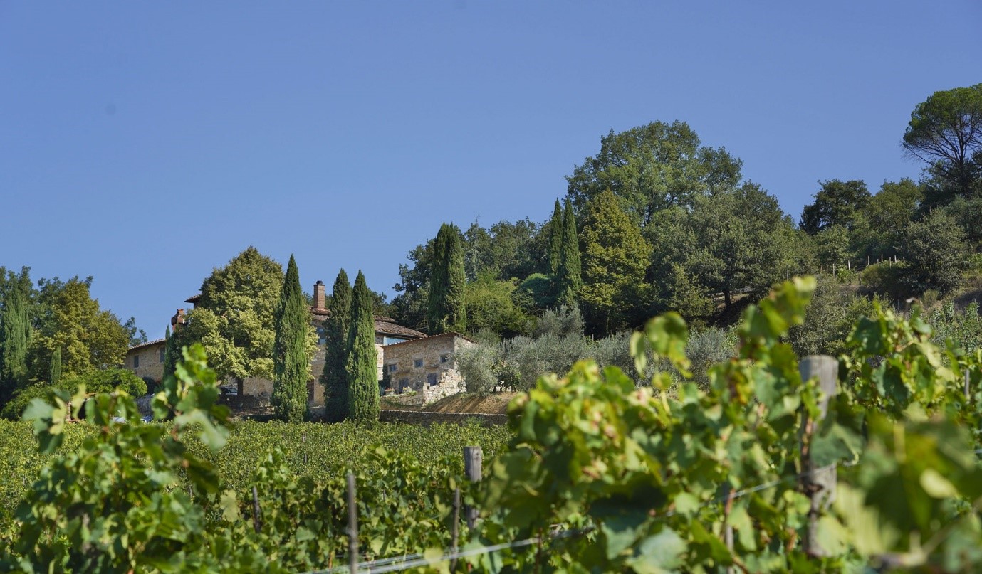
Optimising Vineyard Performance Through Remote Sensing
A remote sensing case study demonstrating how satellite data, machine learning, and vegetation indices improved vineyard management, reduced climate risk, and enhanced crop quality and yield in Tuscany.Continue reading→
Building your capability
We support organisations at any geospatial maturity level through:
- Software & subscription access
- Advisory and consulting services
- Tailored training and capacity development
Use our analytical team as an extension of your own, or let us help you build internal capability.

Turn your data into actionable intelligence with our analytical team
Work with experienced analysts to extract insight you can trust
