About
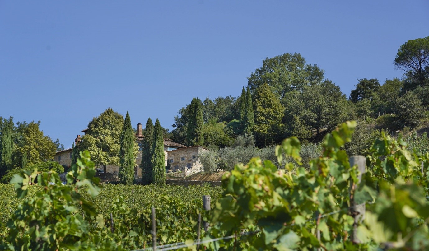
A vineyard, located in Tuscany, Italy, is a historic winery with vines dating back to 1932. Producing award-winning wines, the vineyard primarily cultivates red grape varieties, including Sangiovese, Canaiolo, and Cabernet Sauvignon, across its 10-hectare estate. The vineyard sought to reduce costs, mitigate risk, and enhance both the quality and yield of its produce by leveraging remote sensing technology. Geospatial Intelligence was engaged to conduct a comprehensive study using remote sensing techniques to analyse vineyard conditions over a four-year period, identify key risks, and model strategies for improved vineyard management.
The Challenge
The vineyard and the surrounding region face several environmental and climatic challenges that threaten the productivity and profitability of viticulture. The primary risks identified included:
-
LATE ONSET FROSTS
Erratic frosts occurring after budbreak significantly damage crops, particularly in lower elevation vineyards. Prevention measures are costly and often impractical for small-scale vineyards.
-
CLIMATE CHANGE
Warming climates are altering the phenological stages of grapevine growth, resulting in earlier budding and increased exposure to extreme weather events such as high-intensity rainfall, hail, drought, and prolonged heatwaves.
-
DISEASE AND PESTS
Organic farming practices and the widespread planting of older grape varieties are shifting disease dynamics. In Piedmont, a neighbouring region, managing downy mildew costs between €8-16 million annually, with projected cost increases of up to 50%due to climate change.
Methodology
To address these challenges, Geospatial Intelligence implemented an advanced remote sensing approach, integrating open-source and commercial satellite data to model vineyard conditions and detect environmental changes. The key methodologies included:
- Late Onset Frost Identification: By analysing four years of climate data and vegetation indices, Geospatial Intelligence identified frost-affected periods and mapped the impact on vineyard health.
- Machine Learning Modelling: Random forest algorithms were employed to establish links between landscape features (slope, aspect) and NDVI changes, enabling the prediction of frost susceptibility and growth variability.
- Olive Grove Monitoring: Remote sensing techniques were extended to the vineyard’s olive groves to assess tree health and moisture levels, enabling proactive management strategies.
- Vegetation Indices: NDVI (Normalised Difference Vegetation Index): Used to monitor growth vigour and detect frost damage. NDMI (Normalised Difference Moisture Index): Tracked moisture levels to identify drought stress and the delayed impact of frost events. CARI(Chlorophyll Absorption Ratio Index): Provided insights into subtle differences in vineyard health, indicating potential quality variations.
- High-Resolution Mapping & Anomaly Detection: Satellite imagery was used to pinpoint declining vine health at a sub-paddock level, allowing for targeted land management interventions such as irrigation, fertilisation, and pruning. Running mean analysis was conducted to identify anomalies in vineyard performance over the four-year period.
Outcome
Through this research initiative, the vineyard gained access to state-of-the-art remote sensing technology, enhancing its ability to mitigate environmental risks, optimise production, and maintain its reputation for producing high-quality wines. Geospatial Intelligence's findings will serve as a foundation for continued innovation in precision viticulture, ensuring long-term sustainability and profitability for the vineyard and similar vineyards.