
Illegal, Unreported and Unregulated Fishing
Detecting illegal, unreported and unregulated fishing using satellite tracking, AI analysis and geospatial data to protect marine ecosystems and support sustainable fisheries.Continue reading→
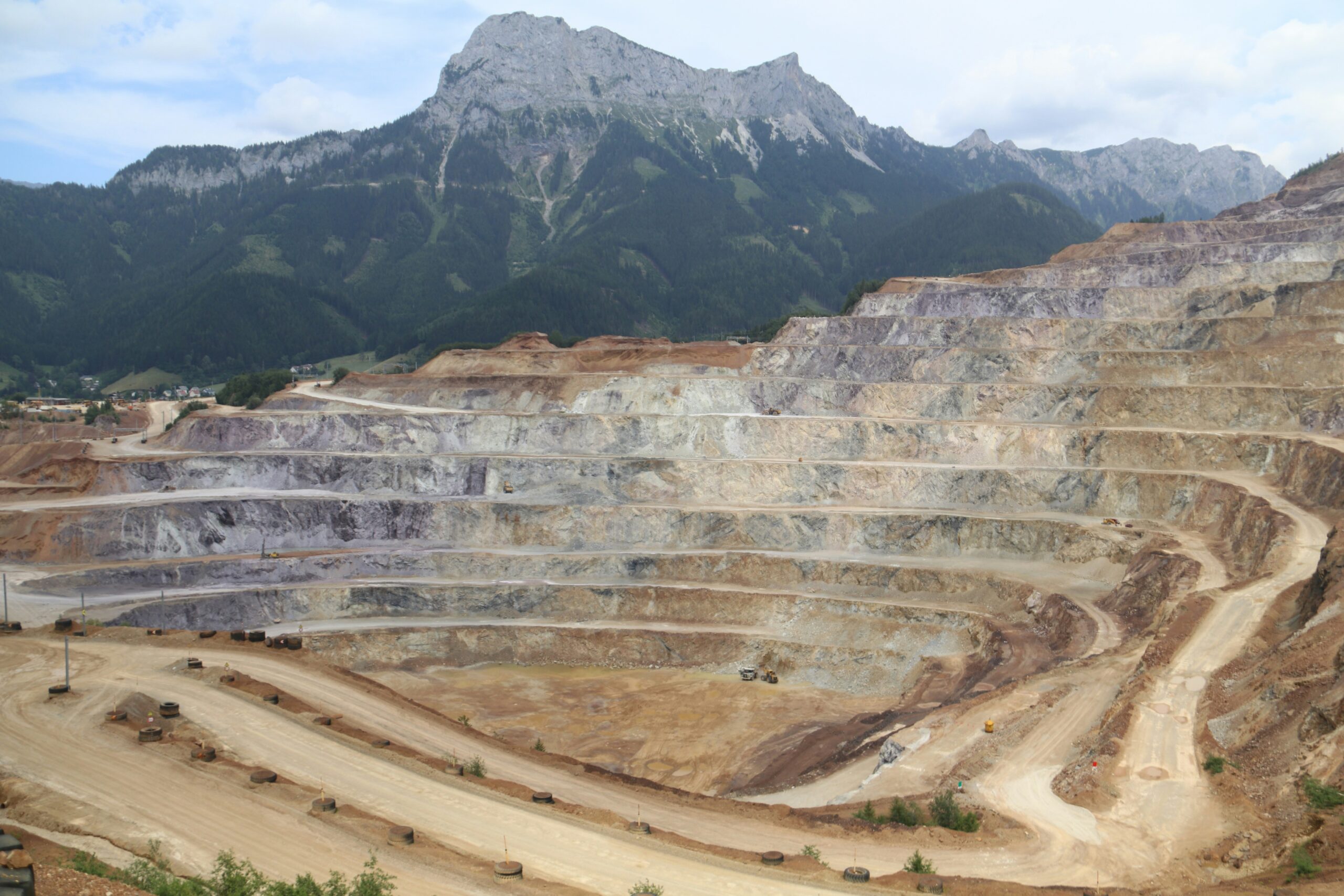
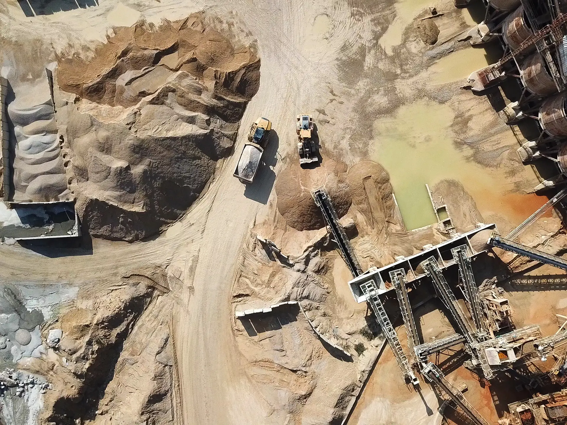
Monitoring Mine Site Integrity with EO and SAR Remote Sensing
Remote sensing using EO and SAR imagery enabled accurate monitoring of drill pads, subsidence, and site activity across a large Australian mining operation, improving safety and compliance.Continue reading→

Monitoring Dugong Populations and Seagrass Health Using UAV Remote Sensing
Geospatial Intelligence used UAV imagery and automated anomaly detection to monitor dugong populations and seagrass ecosystems off Western Australia. Processing more than 70,000 aerial scenes provided new visibility into marine habitat health and environmental change, supporting long-term conservation planning.Continue reading→
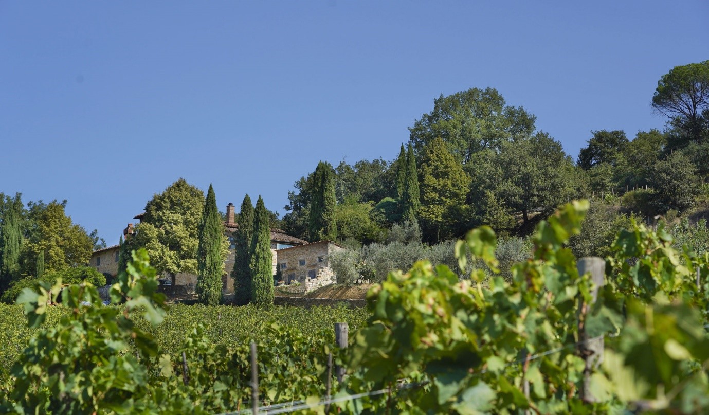
Optimising Vineyard Performance Through Remote Sensing
A remote sensing case study demonstrating how satellite data, machine learning, and vegetation indices improved vineyard management, reduced climate risk, and enhanced crop quality and yield in Tuscany.Continue reading→

Reef Pattern of Activity Analysis for Marine Protected Area Compliance
Geospatial Intelligence conducted a Pattern of Activity analysis across a newly declared Marine Protected Area in northern Queensland, using optical and SAR sensors alongside AIS data to monitor vessel behaviour. The study provided authorities with clear insights into maritime activity and enabled rapid identification of vessels breaching restricted zones.Continue reading→
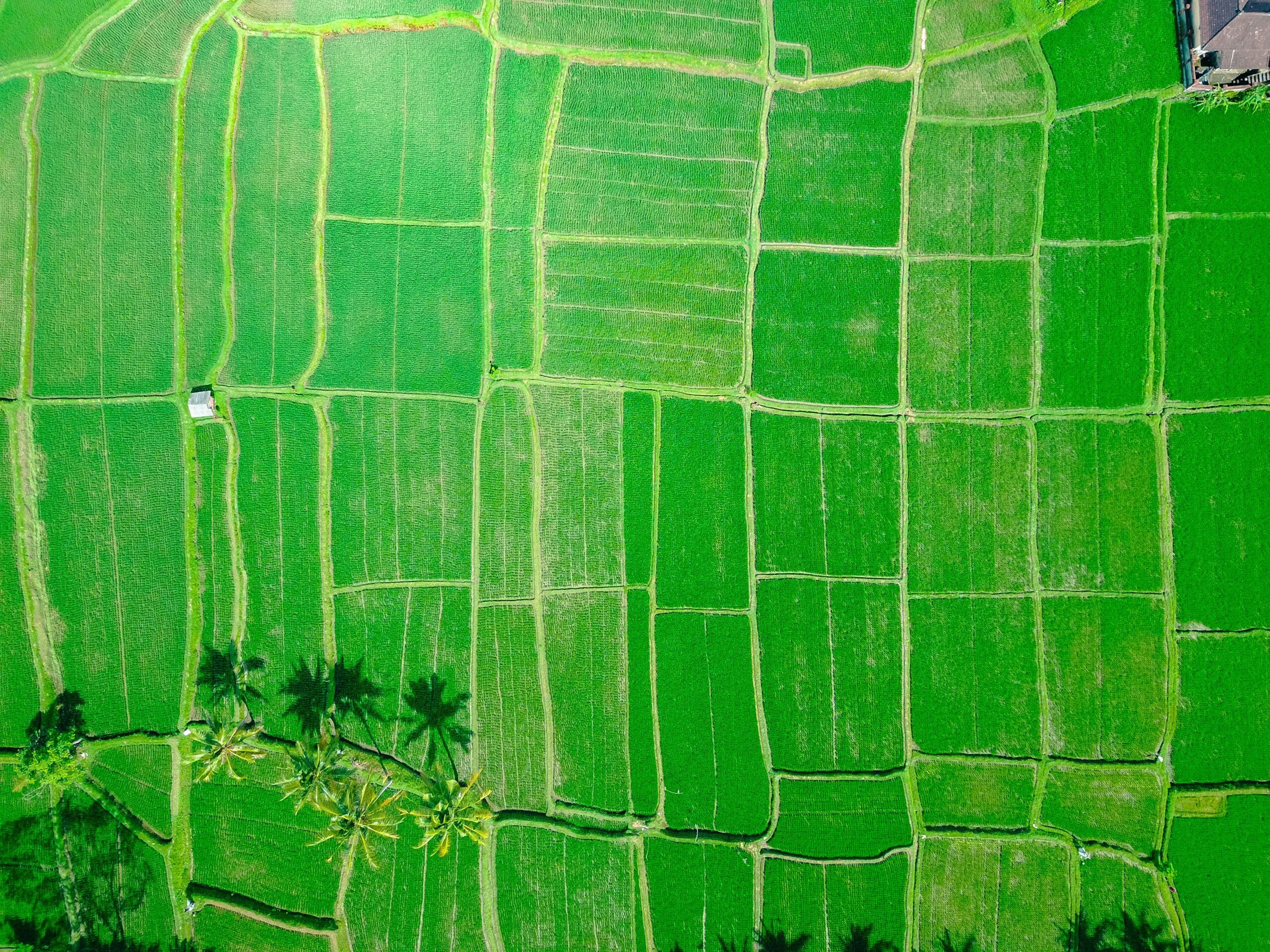
The Link Between Rice and Terrorism
Geospatial Intelligence analysed patterns of improvised explosive device (IED) incidents in an Asian region to uncover the drivers behind recurring spikes in violence. By combining OSINT sources with temporal analysis, the study revealed a strong link between IED activity and the agricultural cycle, particularly during months when rice is not harvested. These insights support more targeted prevention strategies, including socio-economic programs and improved planning for security and travel risk management.Continue reading→
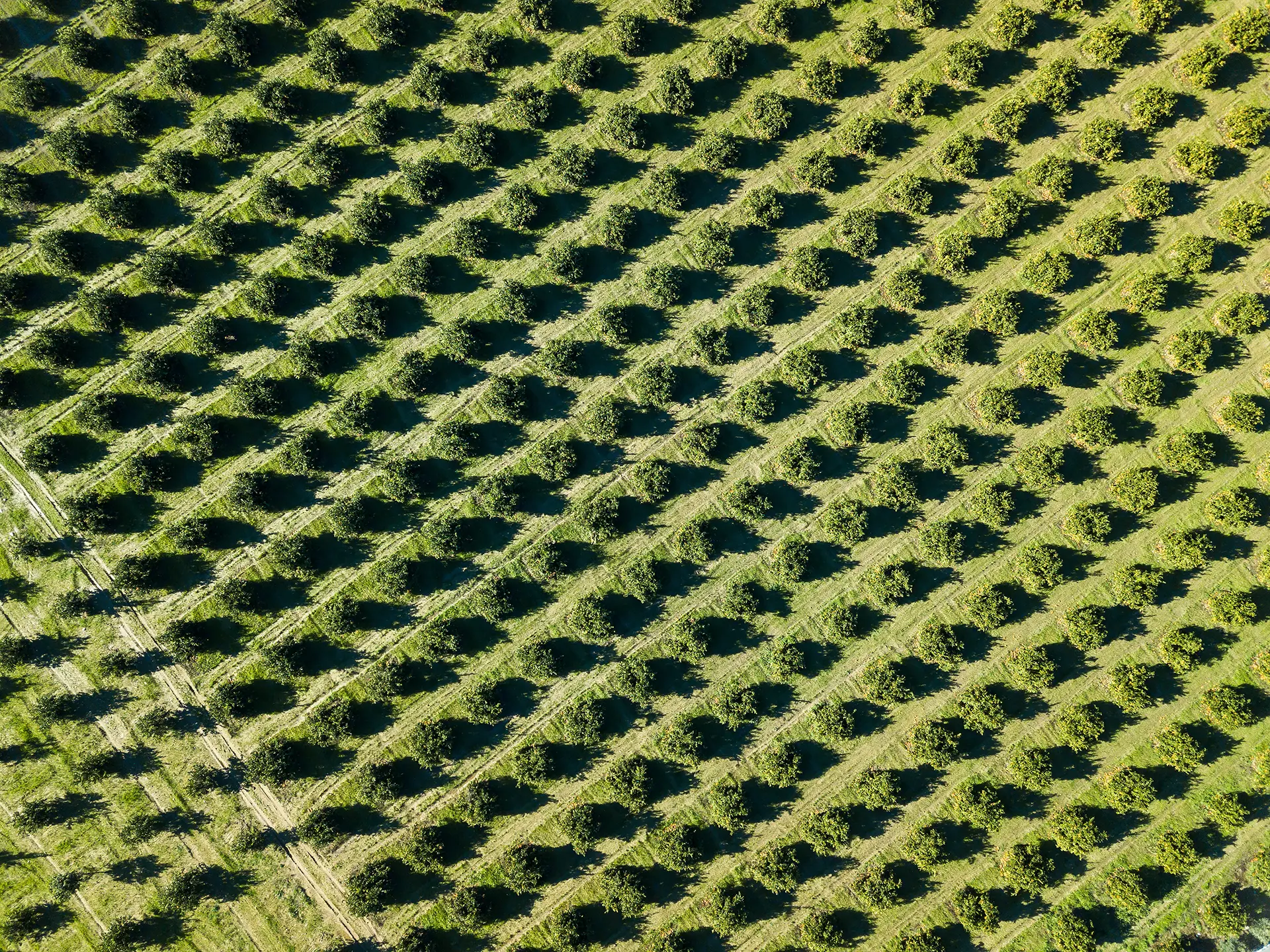
Orchard Management Using Satellite-Based Tree Health Detection
Geospatial Intelligence conducted a remote sensing assessment for an Australian orchard to identify unhealthy or damaged trees at scale. Using satellite imagery and NDVI analysis, the project produced a detailed tree health classification map, accuracy report, and geospatial outputs for operational use. The insights allow the orchard to detect issues earlier, improve decision making, and support long term productivity and orchard health.Continue reading→

Modelling Sea Level Rise and Storm Surge Risk for Coastal Resilience
Geospatial Intelligence conducted a sea level rise and storm surge modelling assessment for a coastal region comprising multiple cities. Using Earth Observation data, the analysis identified high-risk coastal zones and evaluated the potential impact of extreme storm surge scenarios. The insights enable local governments to strengthen emergency planning, protect critical infrastructure, and guide long-term climate adaptation strategies.Continue reading→
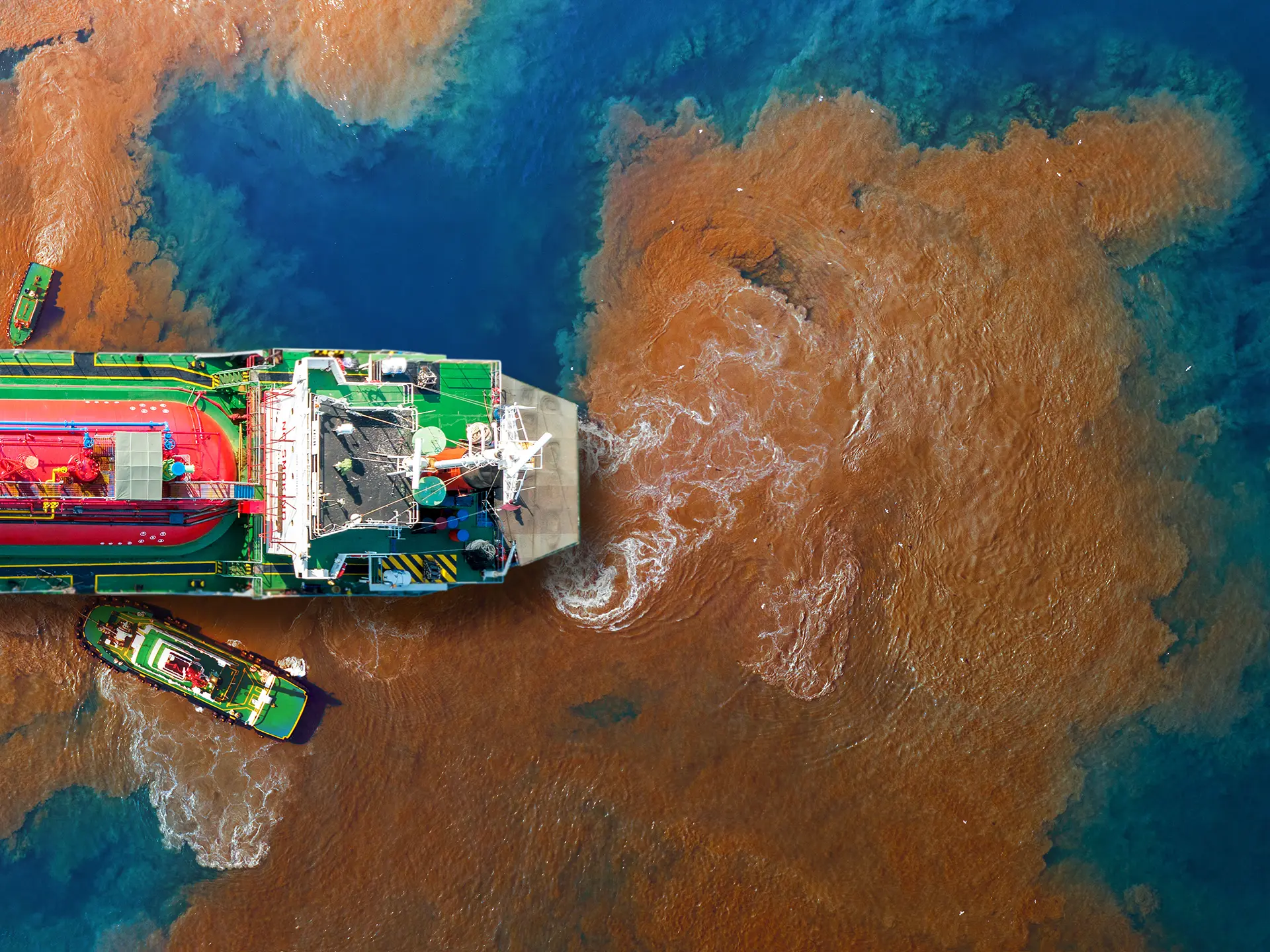
Satellite-Based Oil Spill Monitoring
Synthetic Aperture Radar (SAR) satellite monitoring helped detect oil spills across the Great Barrier Reef, Torres Strait, and North West Shelf, improving response coordination and marine ecosystem protection.Continue reading→
Remote Sensing Weed Detection for Mine Site Rehabilitation
Remote sensing and machine learning enabled scalable detection of invasive weeds across mine closure sites, improving rehabilitation monitoring and environmental management.Continue reading→
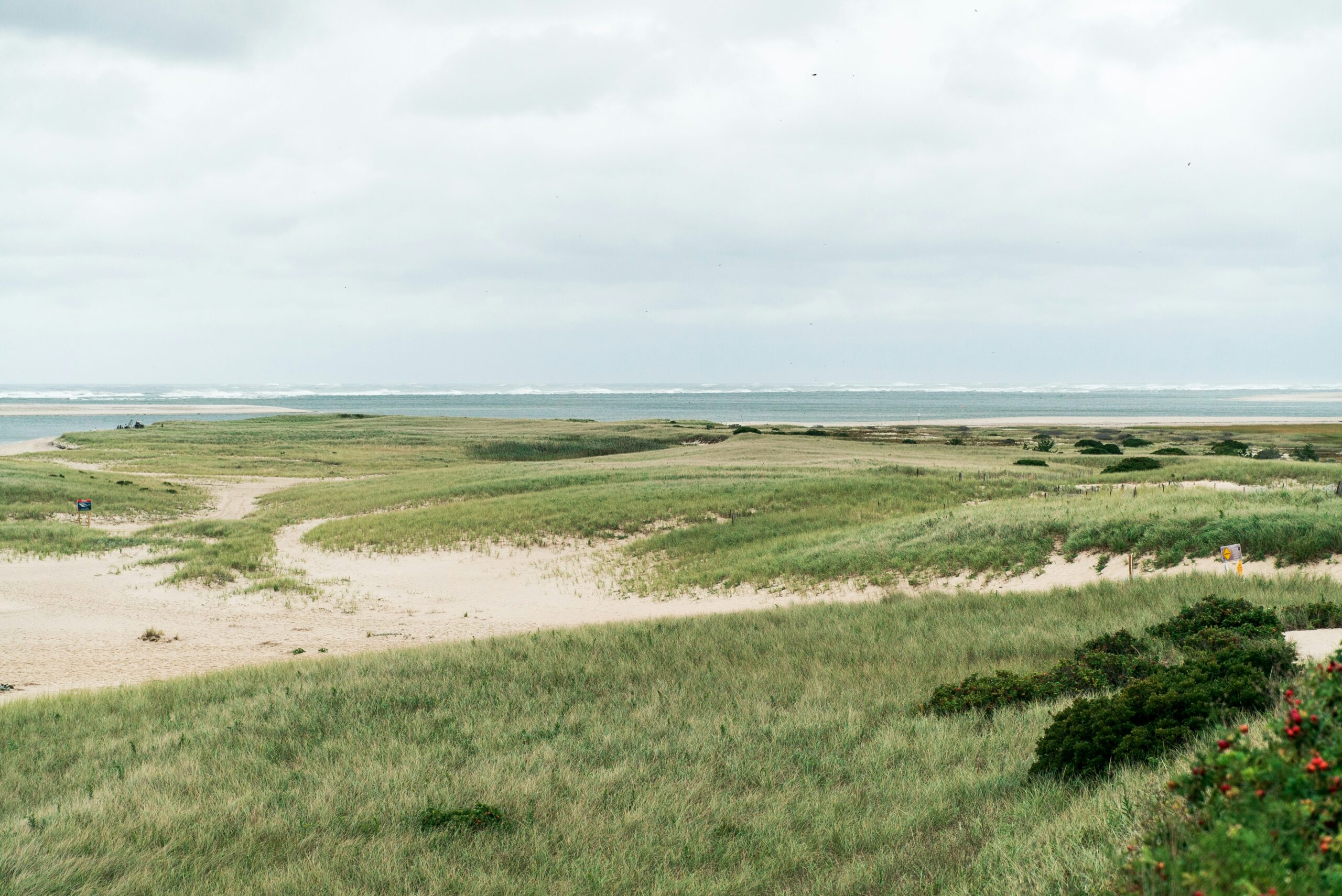
Spatial Carbon Accounting for Smarter Climate Action
A geospatial carbon accounting study mapped carbon storage and sequestration potential across Cape Cod, helping guide conservation, climate mitigation, and long-term regional resilience planning.Continue reading→
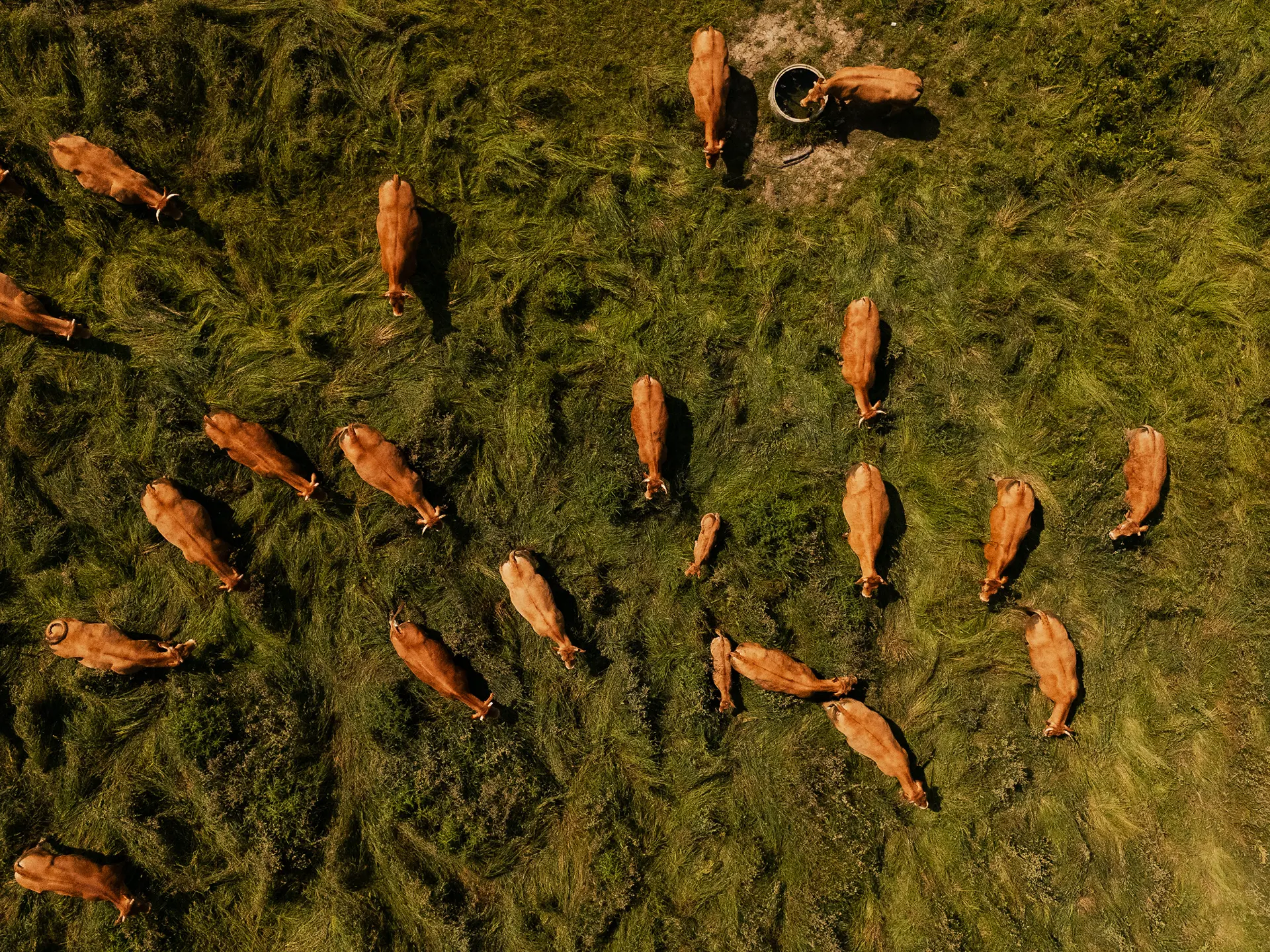
Detecting Biosecurity Gaps in Australia’s Livestock Sector
A geospatial intelligence case study showcasing how OSINT and satellite imagery were used to identify non-compliant livestock sites, improving biosecurity monitoring, traceability, and targeted intervention across Australia’s agricultural sector.Continue reading→