Custom Development
Technology that transforms geospatial data into powerful intelligence
Geospatial Intelligence designs, deploys and integrates advanced software solutions that help organisations unlock the full value of their geospatial, imagery and intelligence data.
From enterprise platforms to bespoke AI-enabled applications, our team blends modern engineering with deep domain expertise across defence, government and commercial sectors.

Our custom development capabilities
Purpose-built software, platforms and analytics designed around real operational needs
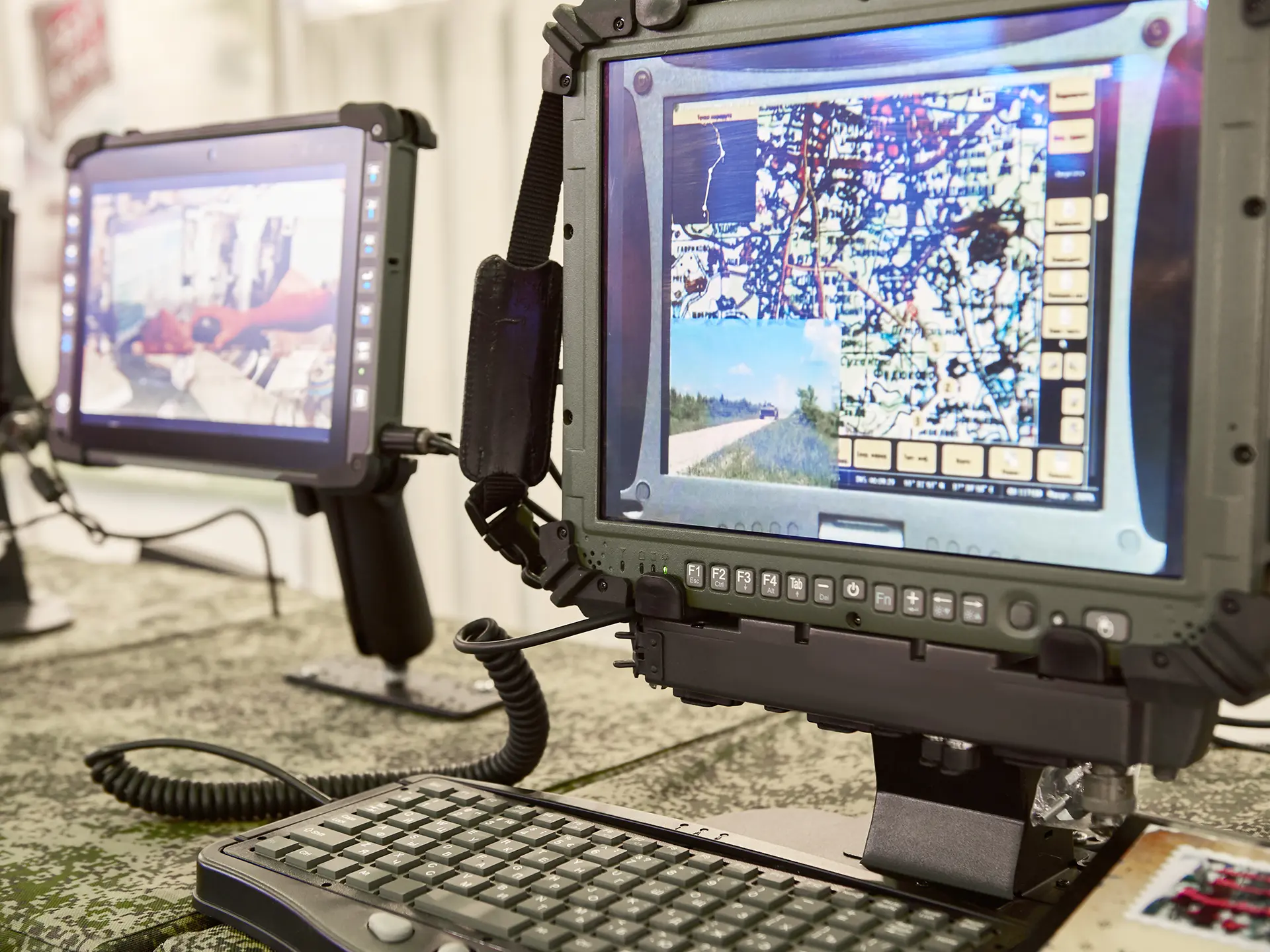
Geospatial Software Solutions
Deploy, integrate and optimise leading platforms
We supply and support a range of geospatial and analytical software packages as partners of Esri, Amazon AWS, and Microsoft.
Our team includes systems architects, developers and intelligence specialists who help you deploy, integrate and operationalise the right tools for your environment.
Ideal for: organisations building or expanding geospatial capability.
Machine Intelligence (AI / ML / DL)
Automated insights from complex geospatial data
We apply advanced Machine Intelligence (AI, ML and Deep Learning) to remotely sensed data, enabling rapid object detection, classification, modelling and predictive analysis across land, sea and environmental domains.
Applications include: vessel detection, aircraft spotting, carbon analysis, agricultural optimisation, disease modelling and infrastructure extraction.
Application Development
Custom-built geospatial applications and platforms
Our software development team builds tailored applications that integrate seamlessly with your workflows and data systems.
From mobile apps to full-scale geospatial platforms, we develop using technologies such as Objective-C, Swift, C++, Python, Java, .NET, JavaScript and modern web frameworks.
We also build extensions for tools including ArcGIS Pro, QGIS, Luciad, GDAL, and Geoserver.
Why work with our technology team?
- Deep expertise in geospatial software engineering and systems architecture
- Specialists in secure, complex and operational environments
- Strong foundation in imagery, remote sensing and Earth Observation tradecraft
- Proven track record across defence, intelligence, environmental and commercial sectors
- Ability to integrate imagery, AIS, OSINT and multi-sensor workflows into seamless platforms
We build technology that works in the real world – robust, reliable and ready for mission-critical use.
Let’s build the right technology for your mission
Talk to our team about platforms, integrations or custom development designed around your operational requirements