Tracking COVID 19 from space
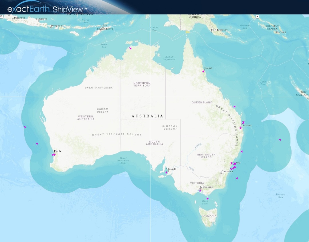
Could you track where you have been in the past 17 days? In light of the Covid-19 pandemic and the heightened interest in cruise liners, the team at Geospatial Intelligence Pty Ltd have been tracking cruise ship vessels within Australian waters using exactEarth® ShipView.
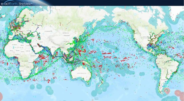
Every AIS transmitting vessel globally viewable on exactEarth® ShipView
Satellite Automatic Identification System (AIS) was initially designed to prevent ships at sea from colliding by enabling them to locate nearby ships. Today, Satellite AIS is primarily used as a tool to transmit and receive important real-time information which enhances the understanding of the current maritime situation. It is not only used by the vessels themselves but also naval forces, port authorities and other maritime authorities find this information imperative for their daily activities.
Satellite AIS has changed the landscape for monitoring the maritime domain. The new exactEarth® ShipView system of 60+ Satellite AIS receivers, in partnership with Harris Corporation, can deliver real-time advanced ship tracking with global average revisit times and customer data latency of less than one minute. Using this system, Geospatial Intelligence can help their customers locate 260,000+ ships globally, and view historical and real-time information transmitted by vessels such as speed, course, heading and destination.
The accuracy of the exactEarth system, combined with other imagery analysis can result in a powerful tool to be used for Safety, Search and Rescue, Maritime Domain Awareness, Environmental Protection, and Fleet Monitoring.
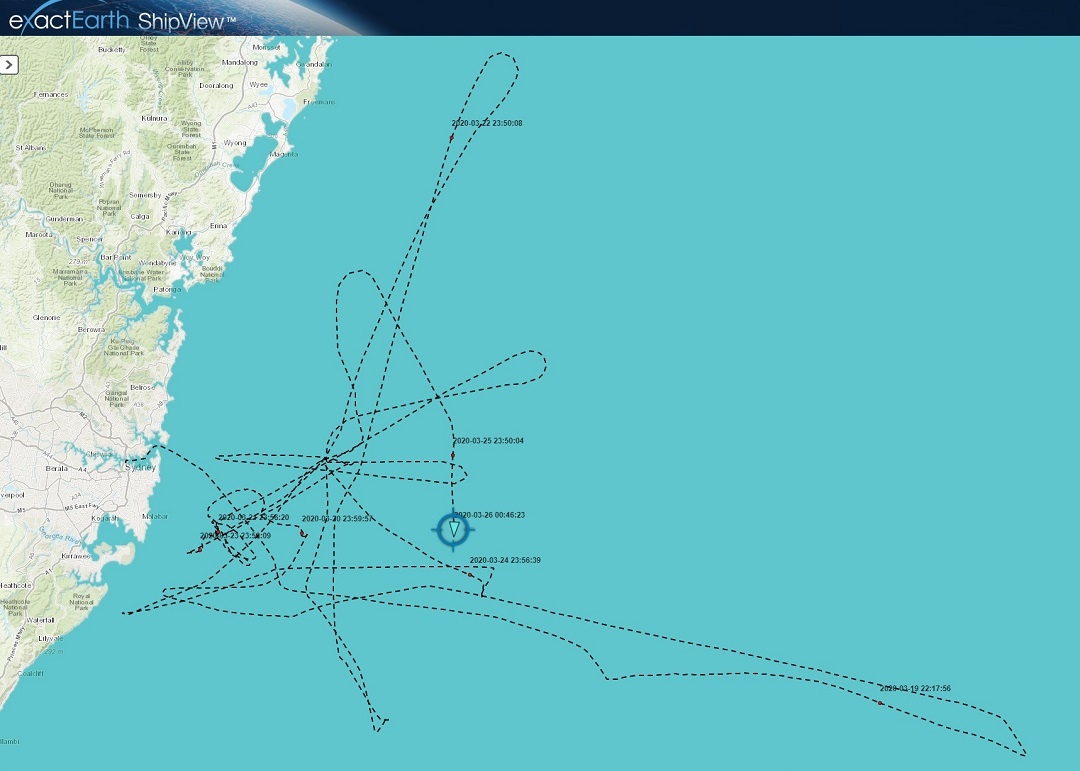
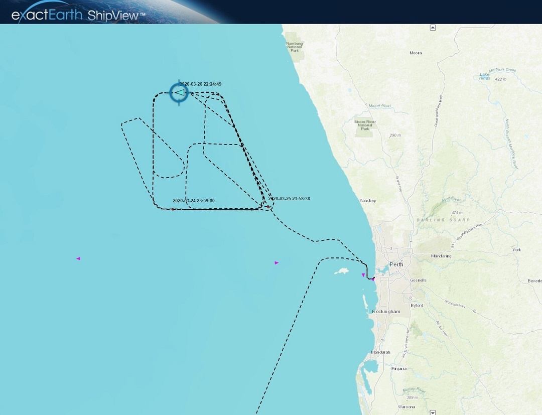
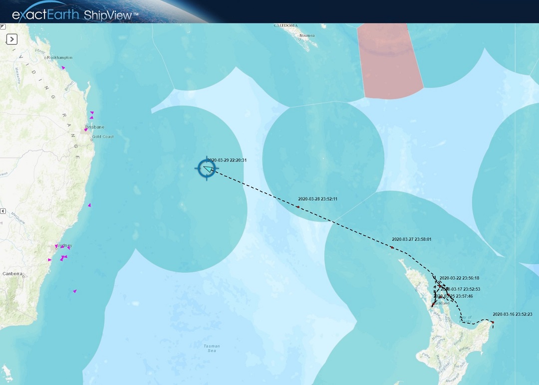
The below image reveals the tracks of where cruise ships such as the Ruby Princess and Voyager of the Seas were located whilst waiting to berth. We were also able to track where all cruise ships were located during this period of time.
Click here for more information about what else our team can offer using Satellite AIS.
The Ruby Princess’ track 17 days before berthing in Port Kembla on 6 April 2020.

