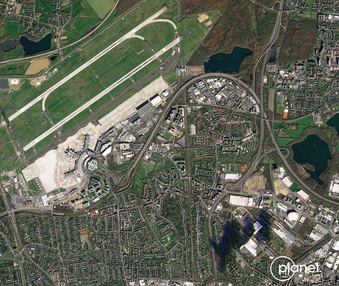
PlanetScope Constellation
- Constellation of more than 130+ satellites
- Coverage of over 300 million square kilometres of the Earth’s landmass at 3 m resolution each day
- Near-real-time capacity
Product Description
PlanetScope Constellation
| Satellite/Constellation | PS2 | PS2.SD | PSB.SD |
| Altitude | 475km | ||
| Bit depth | 12Bit | ||
| Equatorial crossing time | 9:30 – 11:30 am (local solar time) | ||
| Frame Size | 24km x 8km | 24km x 16km | 32.5km x 19.6km |
| Imaging capacity | 200 million sqkm/day | ||
| Spatial resolution | 3.7m | ||
| Spectral bands | NIR: 780 – 860nm
Red: 590 – 670nm Green: 500 – 590 nm Blue: 455 – 515nm
|
NIR: 846 – 888nm
Red: 650 – 652nm Green: 547 – 585nm Blue: 464 – 517nm
|
NIR: 845 – 885nm
Red-Edge: 697 – 713nm Red: 650 – 680nm Yellow: 600 – 620nm* Green II: 547 – 583nm* Green I: 513 – 549nm Blue: 465 – 515nm Coastal Blue: 431 – 452 nm* (*avail. after 8-band release) |
| Swath | 8km | 16km | 19.6km |
| Temporal resolution | As a constellation | ||
PlanetScope is a high-resolution constellation of more than 130+ satellites (termed ‘Doves’) that can cover over 300 million square kilometres of the Earth’s landmass at 3 m resolution each day. Each Dove satellite is a small 10 cm x 10 cm x 30 cm cubesat. The first generation of 4-spectral band PlanetScope Doves was launched in late 2018, followed by a second generation of PlanetScope satellites. Planet’s third generation SuperDove sensors are currently in orbit, and with the addition of Red Edge, are starting to collect imagery with 5 spectral bands. These third-generation satellites have the potential to produce 8-Band imagery, with imagery capture testing on-going in 2020.