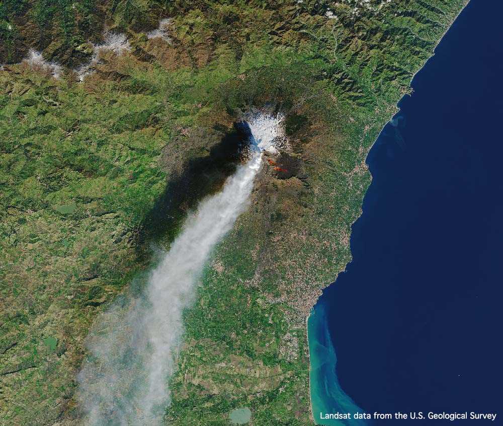
Landsat
- Data freely available from the U.S. Geological Survey (USGS)
- Program operational since 1972
- Multiple satellite constellation with Landsat 7 & 8 still operational
- Multispectral sensors
- Multiple spatial resolutions depending on spectral band (15m to 100m)
Product Description
Landsat
The Landsat program is the longest-running operation for acquisition of satellite imagery of Earth, the program has been operational since 1972. It consists of a multiple satellite constellation with Landsat 7 & 8 still operational. The satellites apart of the Landsat have collected millions of images, which are a unique resource for global change research and applications in agriculture, business, science, government, cartography, geology, forestry, regional planning, surveillance and education. The Landsat program provides repetitive acquisition of high resolution multispectral data of the Earth’s surface on a global basis
Landsat 8 is the most recently launched Landsat satellite, launched on the 11 February 2013 by NASA. It collects valuable data and imagery. The Landsat 8 differs from its predecessor Landsat 7 ETM+ with the addition of 2 new spectral bands; Coastal Aerosol (band 1), designed to investigate water resources and coastal zones, and Cirrus (band 9) a new infrared channel for the detection of cirrus clouds.
Landsat 8 provides a more comprehensive detection of cirrus cloud contamination an indicator to atmospheric contamination. In addition, the use of the cirrus band allows for improved cloud masking and haze removal processing techniques important over tropical and sub-tropical environments. The data and radiometric quality is a marked improvement at 12-bits in comparison to previous Landsat instruments at 8-bits. Within one day Landsat 8 LDCM will have collected 400 scenes and placed in the USGS archive to become available within 24 hours of acquisition.
Landsat 8 satellite has two main sensors: the Operational Land Imager (OLI) and the Thermal Infrared Sensor (TIRS).
OLI collects images using nine spectral bands in different wavelengths of visible, near-infrared, and shortwave light to observe a 185 kilometre (115 mile) wide swath of the Earth in 15-30 metre resolution covering wide areas of the Earth’s landscape while providing sufficient resolution to distinguish features like urban centres, farms, forests and other land uses.
TIRS was added to the satellite mission when it became clear that state water resource managers rely on the highly accurate measurements of Earth’s thermal energy obtained by LDCM’s predecessors, Landsat 5 and Landsat 7, to track how land and water are being used. With nearly 80 percent of the fresh water in the Western U.S. being used to irrigate crops, TIRS will become an invaluable tool for managing water consumption.
| Provider | USGS |
| Satellite/Constellation | Landsat-8 |
| Resolution (Panchromatic) | 15 m GSD at nadir |
| Resolution Multispectral | 30 m GSD at nadir |
| Swath | 185 km at nadir |
| Spectral Bands | Coastal, Blue, Green, Red, NIR, SWIR-1, TIR-1, TIR-2, SWIR-2, Panchromatic, Cirrus |
| Revisit Frequency | Daily |