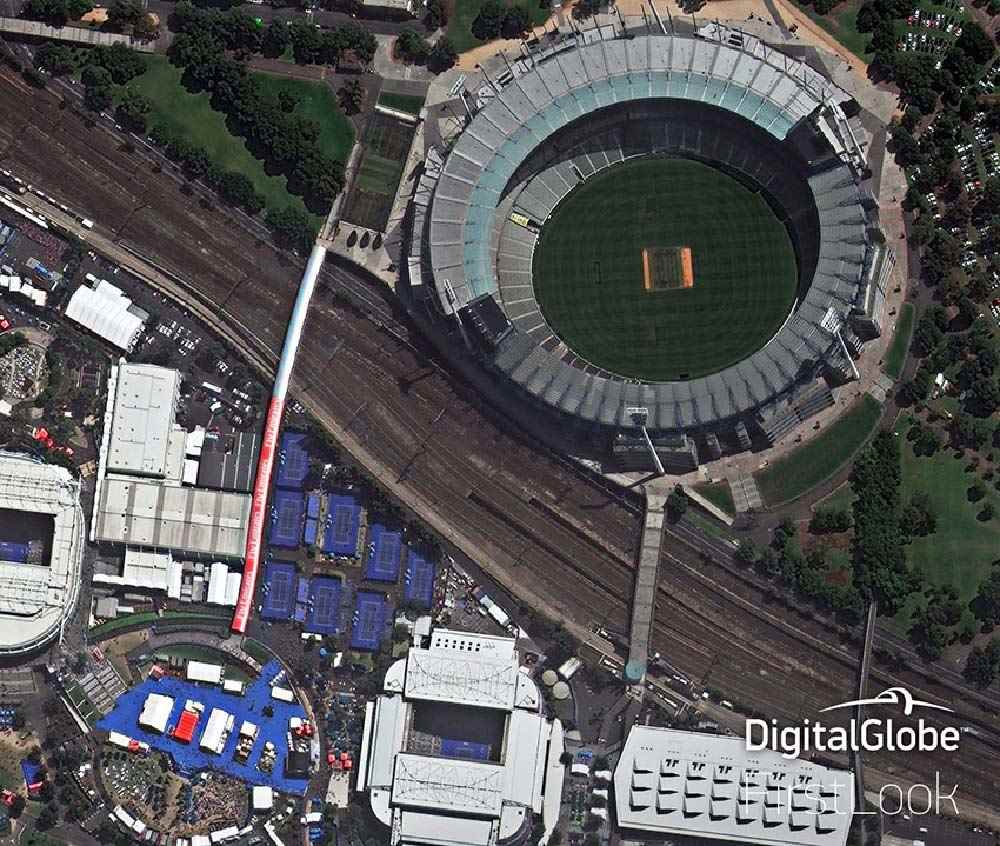
GeoEye-1
- Very high resolution (41 cm)
- Panchromatic, 4 multispectral bands
- 15.3 km swath at nadir, contiguous strip acquisition of up to 45 x 112 km in single pass
- Suitable for mapping
Product Description
GeoEye-1
GeoEye-1 is a very high-resolution Earth observation satellite owned by Maxar, launched in September 2008. The satellite collects image data at resolution (panchromatic) of 0.41 m.
At the time of its launch, GeoEye-1 was the world’s highest resolution commercial Earth-imaging satellite. GeoEye-1 was manufactured in Gilbert, Arizona, by General Dynamics and the first image was returned on 7 October of Kutztown University in Pennsylvania.
This agile satellite has a revisit capability of 1-3 days depending on latitude. The satellite simultaneously captures 0.46 metres in panchromatic mode (black & white) and 1.84 metres multispectral (colour) digital imagery.
GeoEye-1 offers geolocation accuracy of three metres (CE90 (measured)), which means that customers can map natural and man-made features to within 3 metres of their actual location.
The GeoEye-1 satellite sensor features the some of the most sophisticated technology ever used in a commercial remote sensing system. This sensor is optimized for large projects, as it can produce over 350,000 square kilometres of pan-sharpened multispectral satellite imagery every day.
GeoEye-1 orbits at an altitude of about 681 kilometres and is capable of producing imagery with a ground sampling distance of 46 centimetres, meaning it can detect objects of that diameter or greater.
| Provider | Maxar |
| Satellite/Constellation | GeoEye-1 |
| Resolution (Panchromatic) | 0.41 m GSD at nadir |
| Resolution Multispectral | 1.65 m GSD at nadir |
| Geolocational Accuracy CE 90 (without ground control) | <3 m CE90 |
| Swath | 15.3 km at nadir |
| Spectral Bands | Panchromatic + 4 Band MS: Blue, Green, Red, NIR |
| Revisit Frequency | 2.6 days at 30° off-nadir at 40°N Latitude |
Product Features
| name | GeoEye-1 |
| review | N/A |