Satellite Imagery
Empower Your Vision
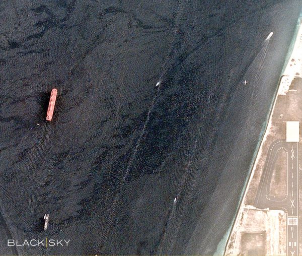
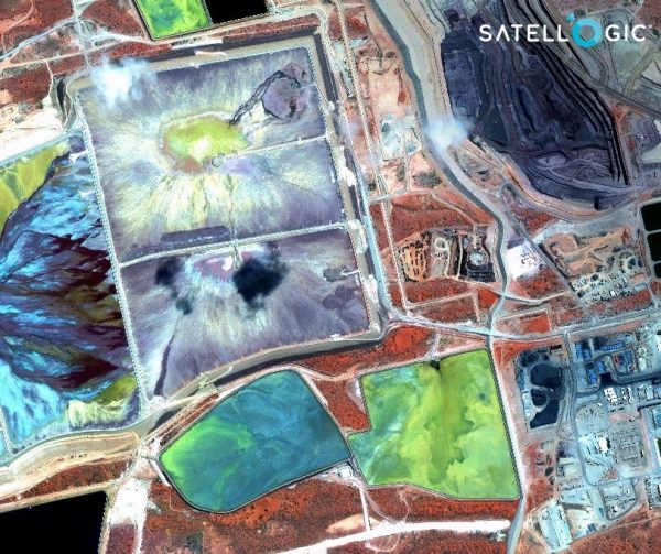
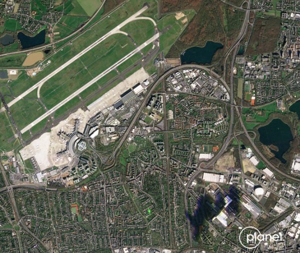
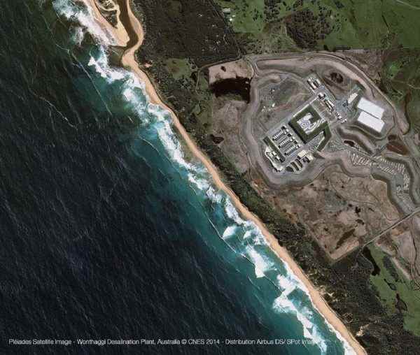
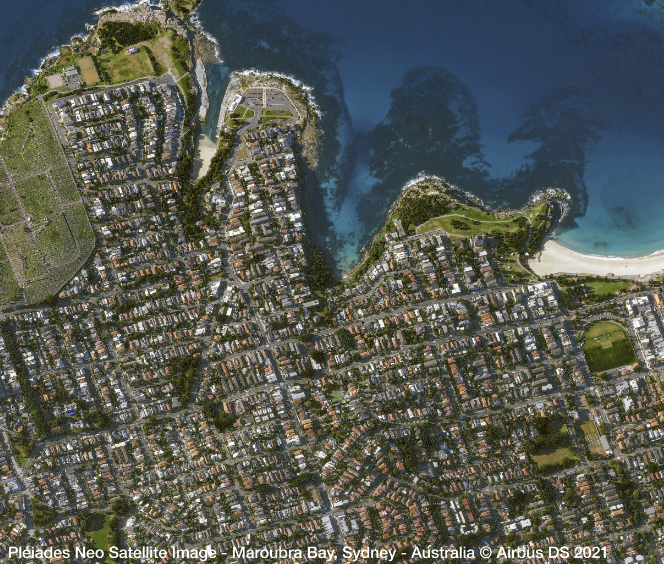
Geospatial Intelligence specialises in very high-resolution multispectral optical and radar satellite imagery. We are a leading Australian re-seller for Airbus, Maxar, Capella, Planet and Blacksky.
In addition to optical and radar satellite imagery, we can also provide basemaps, elevation data and reference layers. We provide our customers with rapid access to either new imagery collections, or to billions square kilometres of archived imagery captured since 1986.
Tasking
Geospatial Intelligence has the capability to directly task a number of earth observation satellites and can request tasking from other providers, for optimum image capture.
Purchasing
Imagery is available per scene or per square kilometre. We can source a single image or facilitate regular monitoring. Our specialists will work with you to define a package that best meets your needs.
Value-added services
If your organisation doesn't have the internal capability, or if you require assistance with the processing, analysis or interpretation of your imagery, we offer a range of image and data services. Our experts can also work with you to develop a unique product that combines satellite imagery with other information sources like satellite AIS data and open source intelligence to meet your needs.
Geospatial Intelligence offer a range of software and subscription services to help you to run your own analysis, or our highly skilled analysts can assist you. We also provide training, advisory and consulting services to support you in the building of in-house capability, or you can take advantage of our expertise and task us to develop a tailored solution for you.
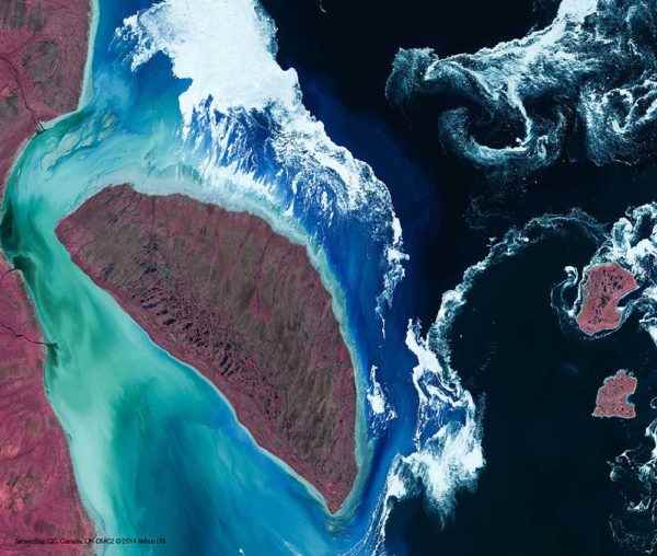
Satellite imagery is data collected by sensors carried on imaging satellites in orbit around the earth. Satellite imagery can be collected using a passive sensor such as an optical sensor, or an active sensor such as a synthetic aperture radar (SAR) sensor. Optical sensors collect multispectral data reflected from the earth’s surface. Radar sensors actively emit radio waves and record the signal that is reflected back. Imagery data from both optical and radar sensors can tell us much about the earth’s surface and can provide valuable information for a range of industry sectors including; environmental management, mining, emergency management, resource management and the defence sector.
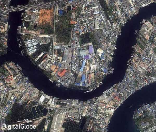
Geospatial Intelligence pride ourselves on sourcing the most appropriate data for our customers' needs. We acknowledge that freely available satellite imagery is now available for commercial and research use from the Landsat program operated by the U.S. Geological Survey (USGS), as well as from the European Union’s Copernicus Program (Sentinel satellites operated by the European Space Agency (ESA)). Our specialisation is to understand what our clients need to achieve. We then support them in their use of either freely available imagery, if appropriate, or provide them a new high resolution image capture or archived imagery from one of our commercial imagery providers, to meet their project objectives.
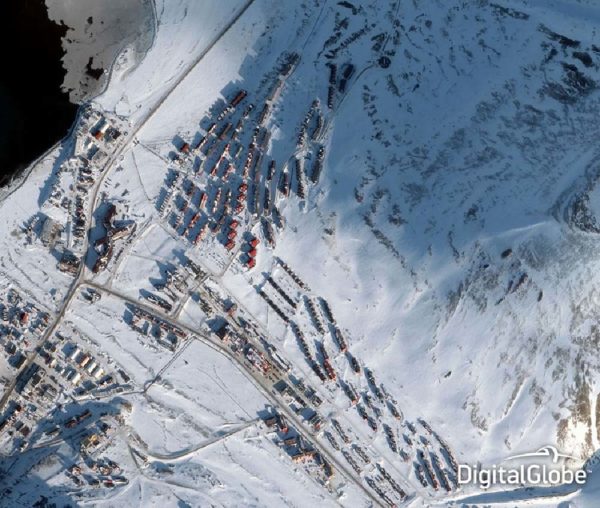
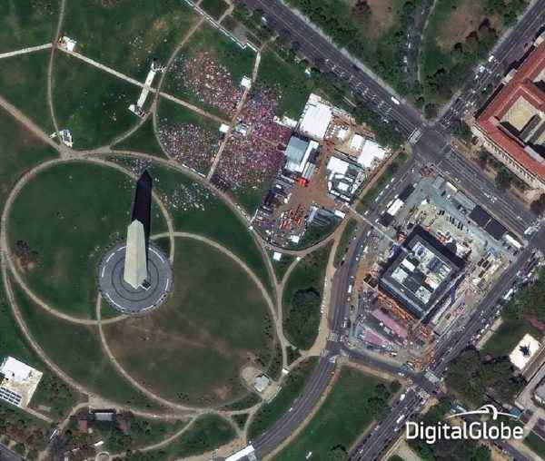
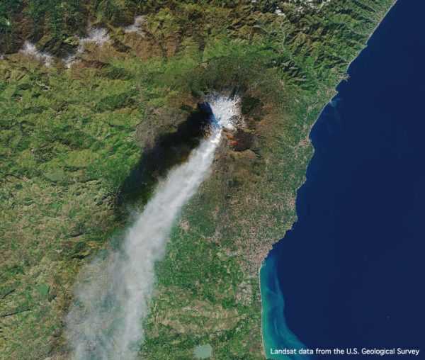
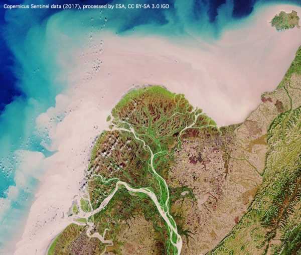
The tool below allows you to compare different spatial resolutions
Different applications require varying spatial resolutions. High spatial resolution is necessary to identify small features such as individual trees. Lower spatial resolution data often has a larger footprint and can be used for broad scale mapping applications.
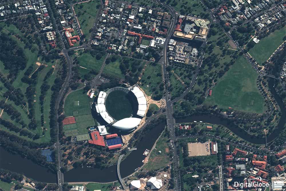
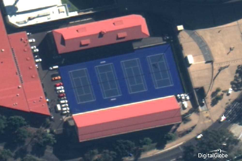
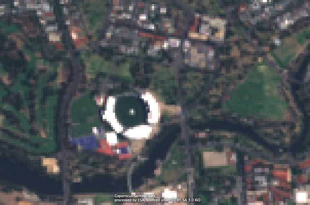
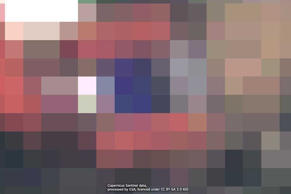
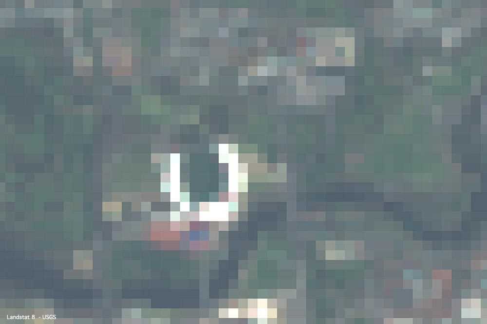

WorldView-3
- Commercial satellite operated by DigitalGlobe
- Very high resolution (31 cm) pansharpened imagery
- Each pixel represents approximately 0.0961 square metres
- Panchromatic, 8 multispectral, 8 SWIR and 12 CAVIS bands
- 13.1 km swath at nadir, contiguous strip acquisition of up to 66.5 x 112 km in single pass
- Highly responsive system providing daily revisits
Sentinel-2A
- Free publicly available satellite operated by the European Space Agency
- 10m visible spectrum imagery
- Each pixel represents approximately 100 square metres
- 13 bands of visible/near infrared (VNIR) and SWIR
- 290km swath
- Revisiting every 5 days under the same viewing angles
LandSat 8
- Free publicly available satellite operated by NASA/USGS
- 30m visible spectrum imagery
- Each pixel represents approximately 900 square metres
- 9 bands of visible/near infrared (VNIR) and SWIR
- 185km swath
- Revisiting every 16 days
Optical imagery
Synthetic Aperture Radar (SAR)
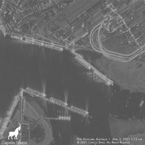
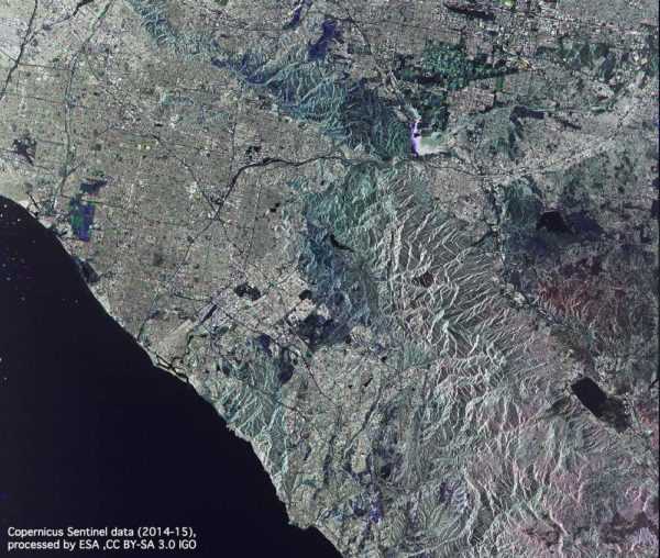
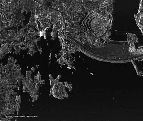
Synthetic Aperture Radar (SAR) is a system that sends microwave signals from the satellite sensor to the ground and records the backscatter of the signal as it is reflected. The recorded information can be used to produce high resolution images of objects or environments. SAR can provide a number of benefits over standard optical sensors, with SAR sensors being able to capture data even in inclement weather. SAR can also collect data both day or night, increasing acquisition opportunities. SAR is used for a range of applications including; environmental monitoring (oil spills, flooding), maritime surveillance (vessel detection) and large-scale change detection.
Frequently Asked Questions
Satellite imagery is data collected by sensors carried on imaging satellites in orbit around the earth. Satellite imagery can be collected using a passive sensor (such as an optical sensor) or an active sensor (such as a synthetic aperture radar (SAR) sensor). Optical sensors collection light information bouncing off the earth’s surface. SAR sensors actively emits radio waves at the earth and record the signal that is reflected. Imagery data can tell us much about the earth’s surface and can provide valuable information for a range of industry sectors including; environmental management, mining, emergency management, resource management and the defence sector.
Both satellite and aerial imagery have advantages. Satellite observations are continuous for the life of the satellite. If you don’t know when or where something will happen, it can be very expensive to continuously fly aircraft. Aerial platforms also have a limited range and flight duration due to fuel and weather restrictions.
Satellites can monitor a large area continuously and identify regions where aerial platforms could be tasked to observe areas of interest more closely.
At present, a single satellite is unable to orbit the earth to image everywhere each day, although capture opportunities are increased with more satellites operating in a constellation. Depending on a satellite’s orbit, it may be able to visit the same location near daily. However, with limited storage on a satellite, and with associated costs involved to send and store very high-resolution imagery, most satellites only collect imagery when ‘tasked’ to do so. In some cases, satellite operators may task a satellite to continue to collect high demand areas without the need for a customer's specific request and archive such imagery. It is also beneficial for suppliers to keep a regular archive of imagery over most areas of the world for use in basemaps etc.
While the common usage of high resolution refers to spatial resolution, there are actually three types, spatial, temporal and spectral.
Spatial resolution – Spatial resolution refers to the ground sample distance of each pixel in an image. For example an image with a 0.5m spatial resolution has pixels that each capture a ground area of 0.25 square metres. Higher resolution images allow the user to see smaller objects and larger objects with more detail.
Temporal resolution – Temporal resolution refers to revisit time. The higher the temporal resolution, the more often a satellite passes over a location to take an image. Temporal resolution can be increased by having more satellites in a constellation.
Spectral resolution – Spectral resolution refers to the number of discrete spectral bands that a sensor collects. For example, a standard camera has low spectral resolution, collecting only 3 spectral bands: the visible blue, green and red, whereas a hyperspectral sensor potentially collects hundreds of spectral bands therefore having a high spectral resolution. More spectral bands allows you to extract more information.
The spatial resolution required by each application will vary. For example, to monitor the size of a forest may not require high spatial resolution imagery but it will be necessary if there is a requirement to identify individual trees. To map the boundary of a lake might not require high resolution imagery but it would be essential to identify a boat in the middle of an ocean. With respect to spatial resolution, the type of imagery is also important – high resolution radar and optical imagery have different properties that need to be understood in relation to the task at hand.
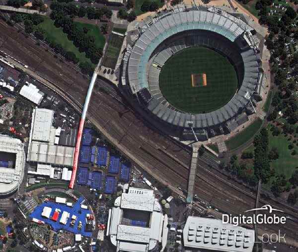
At Geospatial Intelligence we specialise in high resolution satellite imagery of down to 0.3m. At this resolution we can identify the colour and size of vehicles, large to medium farm animals, farm machinery, and even clear line markings. The better the resolution of imagery, the more detail that is visible in an image.
Multispectral satellite imagery captures data across a multiple parts of the electromagnetic (EM) spectrum in what is referred to as ‘spectral bands’. Multispectral imagery collects data from both the visible and infrared parts of the electromagnetic spectrum. This enables the detection of features not visible to the human eye, and allows complex imagery analysis and modelling. Optical imagery satellites often provide multispectral imagery composed of broad visible bands, near infrared (NIR) and shortwave infrared (SWIR). A common use for multispectral imagery is the in the generation of a normalized difference vegetation index (NDVI) which uses the visible red and near-infrared component of the EM spectrum to help detect vegetation health.
Most satellite imagery is not yet available in real time. Once an image is captured, the satellite will transmit the image to earth when it is within range of a ground station that is capable of communicating with the satellite. The image may then undertake some minor processing before being made available for delivery. These systems are fully automated and require minimal human intervention making delivery of data, once captured, as efficient as possible.
Automatic Identification Systems (AIS) on the other hand, can provide near real time tracking and identification using a constellation of satellites in constant communications to interpret and share information on maritime vessels' details, location and speed.
We work closely with our satellite data suppliers, and pride ourselves on our responsiveness, so if you have an operational need for as near to real time imagery as possible, or monitoring of areas of interest be sure to get in contact with us.
Yes, Synthetic Aperture Radar (SAR) sensors use their own energy source (active sensor) to send, receive and record how much of the transmitted energy is reflected, refracted or scattered. The energy source used for radar is of a shorter wavelength than visible light, making it possible to operate at night, penetrate cloud, and in some cases even terrain.
Imagery from optical sensors relies on reflectance, absorption and transmission of visible light from the sun (passive sensor), poor amounts of sunlight, bad weather and cloud will impact optical imagery.
Geospatial Intelligence has access to a number of SAR satellites that allow us to capture data both at night and in bad weather.
Optical and radar data have distinct advantages for different applications. Optical satellite imagery is visually similar to a digital photograph however the sensors collect substantially more spectral information allowing users to identify and classify features in the image. For example identifying and classifying different vegetation types requires optical imagery. Cloud cover does impact optical imagery as the features on the ground are not visible through cloud. Synthetic Aperture Radar (SAR) imagery provides reliable, weather-independent data, able to be acquired day or night. Radar data typically requires more expertise for interpretation and imagery is particularly useful for the detection of highly reflective objects, for example, in applications such as vessel detection. Radar data can also be used for detection of small scale surface movement over periods of time, for example to determine if a structure such as a bridge of a dam is stable.
A spectral band is the range of wavelengths that a sensor is able to detect and capture. Most optical sensors have at least three bands (visible bands), being Red, Green and Blue (RGB). Each of these bands detect the reflectance of energy (light) across their respective wavelengths: Red ~700-635nm, Green ~560-520nm and Blue ~490-450nm. Other satellites may detect a range of ‘bands’ like multispectral bands, shortwave Infrared bands and CAVIS bands as well as a panchromatic band, that can all be used to identify and provide valuable information to support earth observation.
LiDAR and SAR technologies differ but also provide complementary information and can be used together to capture data for both large and small-scale applications.
LiDAR (Light Detection and Ranging) - Also known as Airborne Laser Scanning
- An active remote sensing system
- Mounted on airborne platform
- Emits pulses from laser transmitters and optical sensors as receiver
- Often returns irregular point sample
- Has a very narrow laser beam
- Can pass through gaps in canopy to determine ground
- Ideal for low level, high accuracy surveys
- Often used to derive digital elevation data
SAR (Synthetic Aperture Radar)
- An active remote sensing system
- Mounted on either satellite or airborne platform
- Transmits radio waves and a pair of antennae detect backscattered signal
- Samples cells at a regular interval
- Long wavelengths
- Can penetrate clouds, dust and haze
- Ideal for high level, regional surveys
- Often used for flood monitoring, or vessel detection

