Product Description
SkySat Constellation
| Satellite/Constellation | SkySat-1 – 21 | |
| Altitude | 400-450km | |
| Bit depth | 12 bit | |
| Equatorial crossing time | Equatorial Crossing (UTC) 10:30 – SkySat-3 – 6, 14 – 16 UTC 13:00 – SkySat-1 and SkySat-2 UTC 13:00 – SkySat-8 – 13 | |
| Frame Size | 6km x 5.9km | |
| Launch date(s) | SkySat-1 – 21 were launched between Nov 2013 and Jun 2020 | |
| Orbit | Sun-synchronous, polar inclined, circular | |
| Spatial resolution (GSD) | [SkySat-1 – SkySat-21] Panchromatic: 0.86m – 0.58m Multispectral: 1m – 0.72m | |
| Spectral bands | Pan: 450 – 900nm NIR: 740 – 900nm Red: 605 – 695nm Green: 515 – 595nm Blue: 450 – 515nm | |
| Swath | 5.9km at nadir | |
| Temporal resolution | Sub-daily (constellation) | |
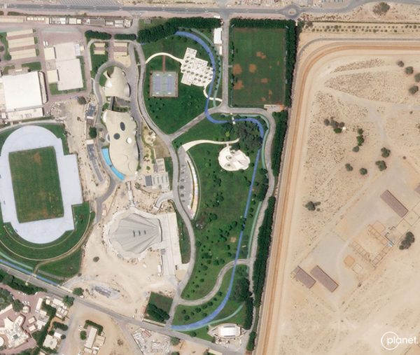
SkySat is an American Earth imaging satellite operated by Planet Labs, which commercialises its imagery directly. The first SkySat was constructed by Skybox Imaging with the aim of enabling government and commercial customers to more efficiently manage assets, as well as monitor agriculture systems, forests, and other natural resources.
In 2018, Planet and Google completed a partnership which saw the launch of PlanetScope satellites and multiple additional SkySats. The SkySat constellation has 21 satellites currently in orbit. Each are 3-axis stabilised and able to fly between targets of interest. Each satellite has a panchromatic and 4-Band Sensor (Red, Green, Blue, Near-Infrared), with three cameras capturing overlapping strips.
With 21 SkySat satellites in orbit, Planet can image certain locations across the globe upwards of 7-12 times per day. In 2020, the SkySat constellation was successfully lowered in orbit, increasing the resolution capability of its satellites to a maximum of 58 cm. Planet’s cloud-based imagery platform is an efficient and effective solution to store, process, and deliver this imagery at rapid speeds.

