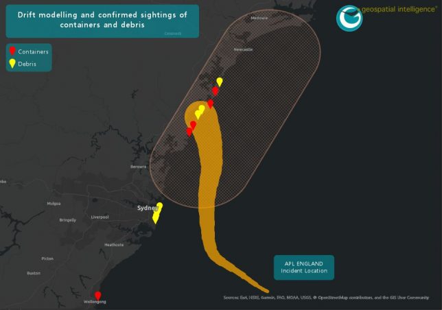
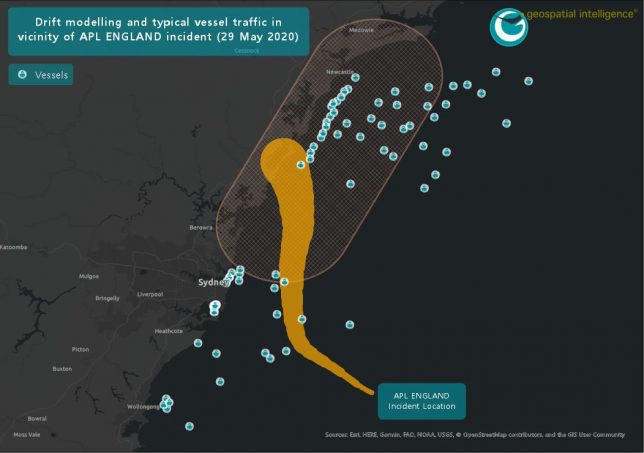
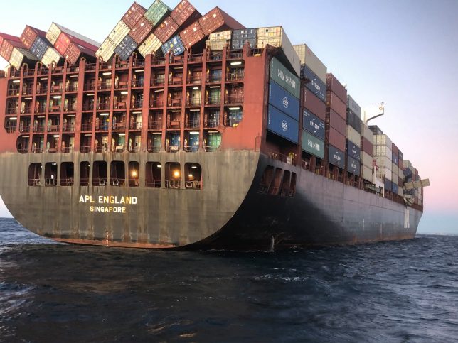
It was recently reported in the media that a container vessel, the APL ENGLAND, lost a large number of containers overboard during a storm early on Sunday 24 May off the coast of New South Wales. At the time, the ship was on a journey from Ningbo, China to Melbourne, Australia. Whilst caught in a storm the ship lost engine power causing the APL ENGLAND to roll heavily in the weather conditions, it was during this time that approximately 40 containers fell overboard.
Satellite Automatic Identification System (AIS) was initially designed to prevent ships at sea from colliding by enabling them to locate nearby ships. Today, Satellite AIS is primarily used as a tool to transmit and receive important real-time information which enhances the understanding of the current maritime domain. It is not only used by the vessels themselves but also naval forces, port authorities and other maritime authorities find this information imperative for their daily activities. In this case, the accuracy of the exactEarth AIS system allowed us to precisely locate the position of the vessel at the time it lost power and changed course to avoid worsening weather conditions.
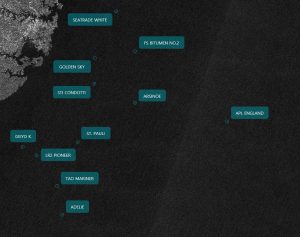
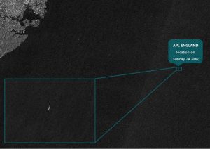
A variety of different satellite types, both commercial and public access, can be utilised for detecting ships, sea ice, as well as incident monitoring at sea such as oil spills or maritime incidents such as that of APL England. This commonly involves the use of radar satellites, with Synthetic Aperture Radar sensors (SAR) operating in the microwave spectrum of energy. SAR has several advantages to traditional optical sensors in that they are able to provide coverage at night and can operate during adverse weather conditions common at sea. Fusing Sentinel-1 SAR imagery with Satellite AIS and automatic detection algorithms including artificial intelligence neural networks, we were able to scan large swaths of ocean for the APL ENGLAND vessel in a very short period of time. This technology has provided significant capability to maritime awareness and incident management.
GI have created a predictive model, which in this case, has been utilised to estimate the general path of the fallen containers. The model incorporates a number of inputs such as time, weather and direction of travel to generate two potential paths for the fallen containers. These two paths are based on whether the containers were travelling at a constant or varied speed, a third area of lower probability is also generated.
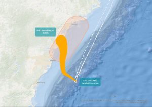
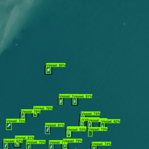
The combination of Satellite AIS, SAR imagery analysis and predictive modelling can result in a powerful tool to be used for Safety, Search and Rescue, Maritime Domain Awareness, Environmental Protection, and Fleet Monitoring. Find more information about our capabilities in Maritime and Emergency Management.
Stay in tune for updates on this story.
